


What's Happening?
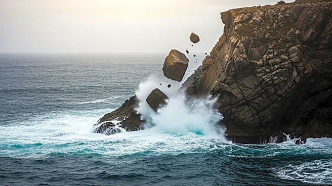
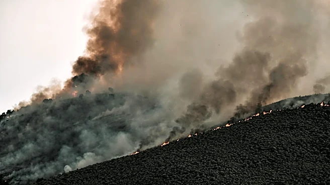
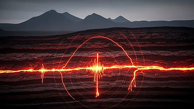
A massive landslide in Dickson Fjord, Greenland, has triggered a 650-foot mega-tsunami, sending seismic waves detectable around the world for nine days. The event occurred on September 16, 2023, when over 25 million cubic yards of rock and ice plunged
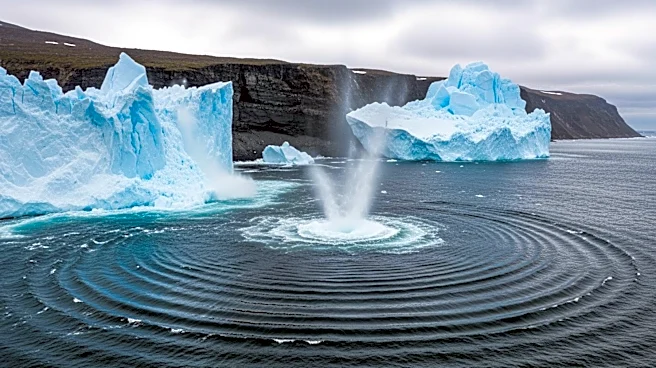
into the fjord, creating a wave that devastated equipment at a nearby research post. The tsunami's impact was so powerful that it caused a seiche, a standing wave in the fjord, which continued to generate seismic signals detectable globally. This phenomenon was captured by satellite imagery and analyzed by an international team of scientists, who used computer models to understand the event's dynamics.
Why It's Important?
The mega-tsunami in Greenland highlights the increasing risks associated with climate change, as warming temperatures contribute to the destabilization of glaciers and slopes. Such events pose significant threats to coastal communities and infrastructure, particularly in remote and vulnerable regions like the Arctic. The ability to detect and analyze these events using advanced satellite technology and seismic data is crucial for improving early warning systems and disaster preparedness. As Arctic travel and tourism increase, understanding and mitigating the risks of such natural disasters become even more critical for ensuring the safety of people and property.
What's Next?
Researchers are now examining seismic archives to identify similar events that may have gone undetected in the past. This could improve our understanding of natural disasters and enhance predictive models for future events. Authorities are also considering integrating satellite data with real-time seismic monitoring to develop more effective early warning systems. As climate change continues to alter the Earth's environment, ongoing research and technological advancements will be essential in adapting to and mitigating the impacts of extreme natural events.