




What's Happening?
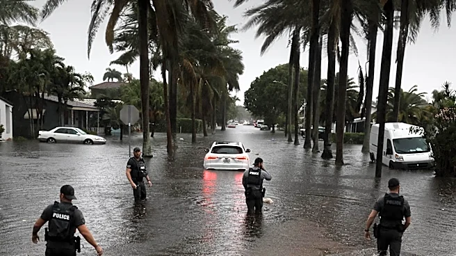
A flood watch has been issued for several counties in east Central Florida, including Orange, Osceola, Brevard, Volusia, and Seminole, effective until Friday at 7 p.m. There is a high probability that Flagler County will also be included in this watch.
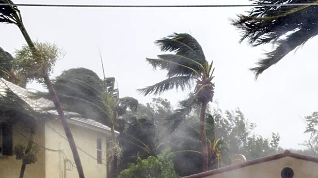
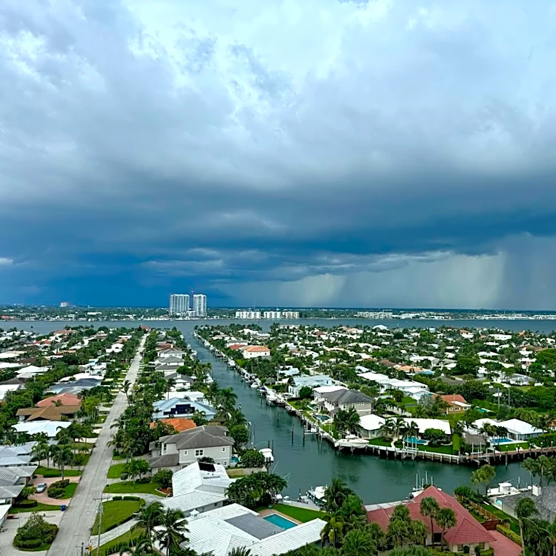
The region is bracing for multiple rounds of heavy rainfall, with some coastal areas potentially receiving more than a foot of rain. This weather pattern is influenced by El Niño, which is expected to significantly increase rain chances throughout the week. A storm system developing in the Gulf of Mexico, combined with strong high pressure over the mid-Atlantic, will drive tropical moisture into Florida. This setup is conducive to the formation of banding and training thunderstorms, which can lead to localized but intense rainfall amounts. Residents are advised that flooding can occur even outside designated flood plains or away from bodies of water.
Why It's Important?
The impending heavy rainfall and potential for widespread flooding pose significant risks to infrastructure, property, and public safety across Central Florida. Communities, particularly those in coastal areas that have recently experienced heavy rains, could face renewed challenges. The St. Johns River, which had begun to recede after historic flooding in Brevard County earlier this month, is now at risk of rising again, potentially exacerbating existing issues for residents along its banks. Businesses may experience disruptions due to road closures, power outages, and property damage, impacting local economies. Emergency services will likely be stretched thin responding to flood-related incidents, and residents may face evacuation orders or be advised to shelter in place, affecting daily life and commerce. The long-term recovery efforts from previous flooding could also be hampered by this new weather event.
What's Next?
Residents in the affected Central Florida counties are advised to closely monitor weather updates from local news and emergency services as the week progresses. The FOX 35 Storm Team has issued a STORM TEAM ALERT from Tuesday through Friday, indicating a sustained period of hazardous weather. Emergency management agencies will likely be preparing for potential evacuations, setting up shelters, and coordinating response efforts. Local authorities will need to assess road conditions and implement closures as necessary to ensure public safety. Property owners should take precautions to protect their homes and businesses from potential flooding. The impact on the St. Johns River will be a critical point of monitoring, as its water levels could significantly affect communities in Brevard County and surrounding areas. Further expansions of the flood watch to additional counties, such as Flagler, are also probable.
Beyond the Headlines
This recurring pattern of severe weather, influenced by phenomena like El Niño, highlights broader challenges related to climate variability and urban planning in vulnerable regions like Central Florida. The repeated flooding events underscore the need for robust infrastructure improvements, including enhanced stormwater management systems and updated building codes, to mitigate future damage. There may be increased pressure on local and state governments to invest in long-term resilience strategies, such as wetland restoration and elevation of critical infrastructure. Furthermore, the economic strain on residents and businesses from successive flood events could lead to discussions about insurance affordability and government assistance programs. The psychological toll on communities repeatedly facing such disruptions also warrants attention, as residents grapple with ongoing uncertainty and recovery efforts.