


What's Happening?
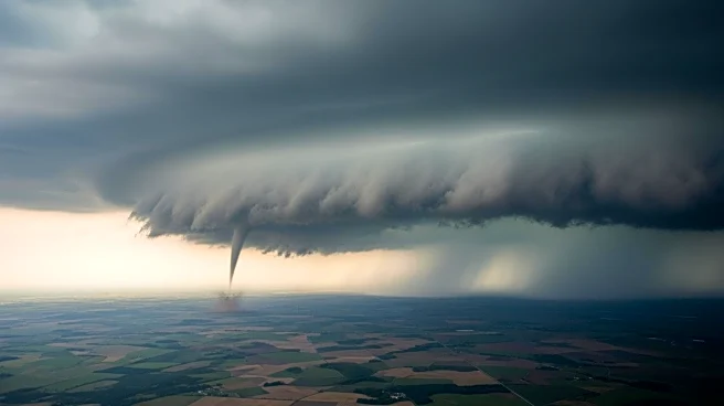
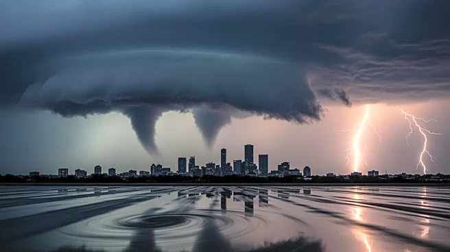
The Chicago area is facing a severe storm system that could bring widespread flooding, hail, and tornadoes. The National Weather Service has indicated that clashing air masses, due to cooling temperatures in the 40s and warming temperatures near 80 degrees
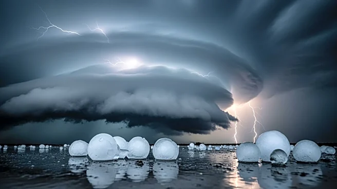
south of Interstate 80, are creating conditions for severe weather. The worst of the storm is expected south of the interstate, with tornado threats being significantly lesser in the metro area. However, a decent amount of rainfall and some hail are likely in parts of the city. The storms are expected to begin between 3 p.m. and 5 p.m. on Tuesday and linger into early Wednesday.
Why It's Important?
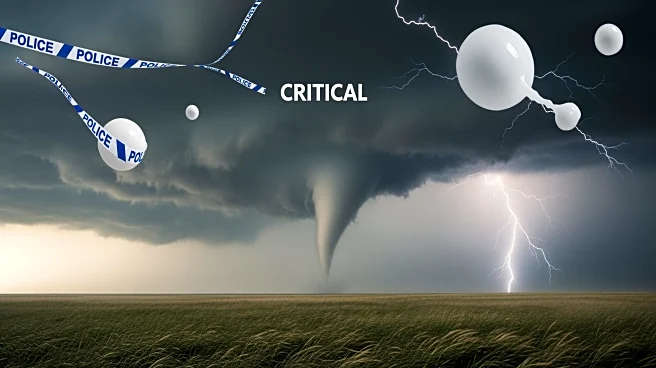
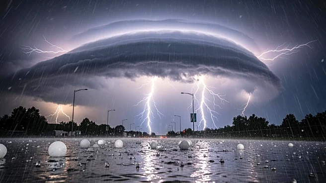
The potential for severe weather in the Chicago area poses risks to public safety and infrastructure. Flooding can lead to road closures, property damage, and disruptions to daily life. The threat of tornadoes, although lesser in the metro area, still requires vigilance and preparedness from residents. The storm system follows record-setting warm temperatures, highlighting the volatility of weather patterns in the region. Commuters are advised to stay informed and avoid driving through floodwaters, as conditions can change rapidly.
What's Next?
Residents are encouraged to monitor weather updates and prepare for possible severe conditions. The National Weather Service will continue to provide forecasts and warnings as the storm progresses. Emergency services are on alert to respond to any incidents resulting from the storm. The public is advised to have emergency plans in place, including identifying safe locations and evacuation routes. The storm's impact will be assessed in the coming days, with potential recovery efforts if significant damage occurs.