






What's Happening?
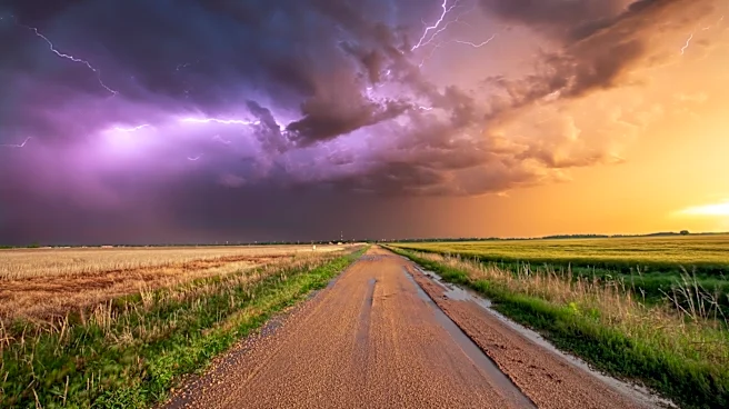
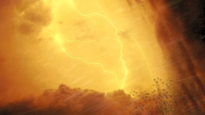
A Severe Thunderstorm Watch has been issued for the Michiana region, including parts of Indiana and Michigan, with the potential for damaging winds and heavy rainfall. The Storm Prediction Center has placed the area under a Level 2 risk for severe weather,
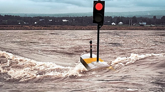
with storms expected to develop Sunday afternoon and continue into Monday. The high humidity and warm temperatures are contributing to the storm's intensity, with the main concerns being damaging winds and localized flooding. The storms are expected to bring heavy downpours, with some areas potentially receiving over an inch of rain. The weather conditions are expected to persist through mid-week, with a gradual decrease in rain chances.
Why It's Important?
The severe weather poses significant risks to the Michiana region, including potential damage to infrastructure, power outages, and disruptions to daily activities. The forecasted storms highlight the need for preparedness and effective communication from local authorities to ensure public safety. The potential for flooding and wind damage underscores the importance of infrastructure resilience and emergency response capabilities. As the region braces for these weather events, it serves as a reminder of the broader challenges posed by severe weather patterns and the need for adaptive strategies to mitigate their impacts.
What's Next?
Residents in the affected areas should stay informed about weather updates and heed any warnings or advisories issued by local authorities. It is advisable to secure outdoor items, prepare for potential power outages, and have emergency plans in place. The community's response to these weather events will be crucial in minimizing potential damage and ensuring public safety. As the week progresses, attention will shift to recovery efforts and assessing any impacts from the storms.