


What's Happening?
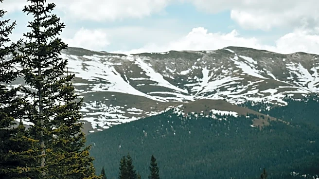
A late-season winter storm is forecasted to bring significant snowfall to parts of Montana and Wyoming, with the National Weather Service issuing warnings for heavy snow accumulation. The storm is expected to impact mountainous regions, particularly the Absaroka
and Beartooth Mountains, with snowfall potentially exceeding a foot in some areas. The storm is accompanied by gusty winds, which could create hazardous travel conditions and impact recreational activities in the high country. Residents and travelers are advised to prepare for deteriorating conditions and carry emergency supplies as the storm progresses.
Why It's Important?
The timing and intensity of this winter storm highlight the lingering effects of winter conditions well into late spring, which can disrupt travel and outdoor activities in the affected regions. The heavy snowfall poses risks such as avalanches and could delay runoff, impacting water resources and local ecosystems. Economically, the storm may affect tourism and local businesses reliant on outdoor recreation. Additionally, the storm underscores the importance of preparedness and adaptability in the face of unpredictable weather patterns, which are becoming increasingly common due to climate variability.
What's Next?
As the storm progresses, officials will continue to monitor conditions and provide updates to ensure public safety. Travelers are urged to check road conditions and heed advisories to avoid hazardous areas. The storm's impact on local economies and ecosystems will be assessed, with potential implications for water management and tourism strategies. In the longer term, communities may need to consider infrastructure improvements and emergency response plans to better cope with similar weather events in the future.