


What's Happening?
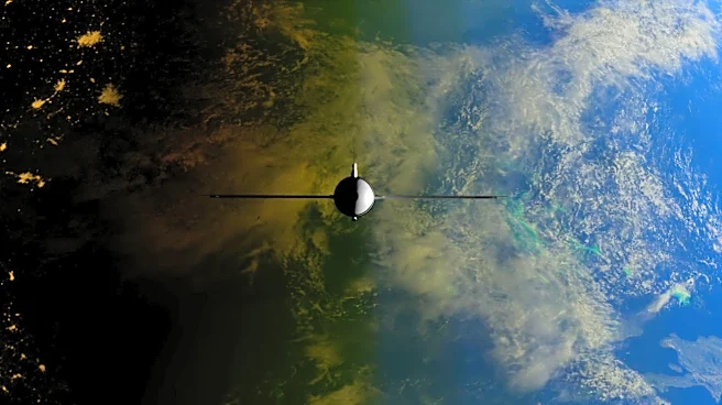
NASA's Earth Observatory has released its May 2026 Satellite Puzzler, inviting the public to identify a location shown in a satellite image. This monthly challenge encourages participants to analyze the image, share clues, and guess the location. Participants
are also encouraged to provide additional details such as the satellite and instrument used, spectral bands, or geological and historical insights. The challenge aims to engage the public in satellite imagery and Earth observation. While no monetary prizes are offered, successful participants gain 'puzzler bragging rights.' The correct answer and additional details will be posted a week after the challenge, recognizing the first correct guess and highlighting interesting responses.
Why It's Important?
The Satellite Puzzler initiative by NASA Earth Observatory serves as an educational tool, promoting public interest in satellite imagery and Earth sciences. By engaging the public in identifying geographical locations from space, NASA fosters a deeper understanding of Earth observation technologies and their applications. This initiative also highlights the importance of satellite data in monitoring environmental changes, contributing to scientific literacy and awareness. Participants gain insights into the capabilities of satellite technology, potentially inspiring future interest in STEM fields. The challenge also underscores the role of public engagement in scientific endeavors, enhancing community involvement in NASA's missions.