

What's Happening?
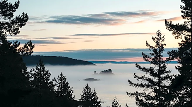
A cold front originating from the Gulf of Alaska is expected to bring rain to the Bay Area and snow to the Sierra Nevada. Meteorologist Kennedy reports that the storm could deliver about a quarter inch of rain in low-lying areas and up to three-quarters
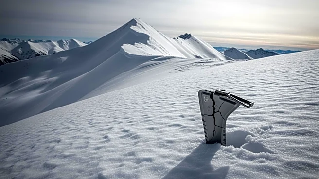
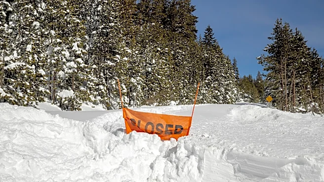
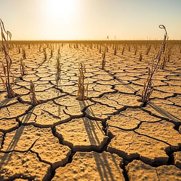
of an inch at higher elevations. The Sierra Nevada could see up to 10 inches of snow on the highest peaks, which is crucial for the region's snowpack currently at 18% of normal. This weather pattern is anticipated to last through the weekend, with a return to above-average temperatures expected shortly after.
Why It's Important?
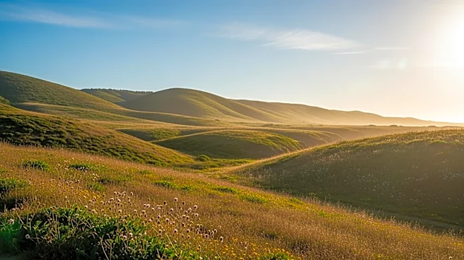
The incoming storm is significant for California's water resources, as the state has been experiencing a meager snowpack. The additional snow could help alleviate some of the water shortages and contribute to the state's water supply. For residents and local governments, this weather event highlights the ongoing challenges of managing water resources in the face of climate variability. The storm also serves as a reminder of the importance of preparing for sudden weather changes, which can impact agriculture, water management, and daily life in the region.
What's Next?
Following the storm, meteorologists predict a return to warmer temperatures, although the exact degree of warmth remains uncertain. This fluctuation in weather patterns underscores the need for adaptive strategies in water management and infrastructure planning. Stakeholders, including local governments and environmental agencies, may need to reassess their strategies to ensure resilience against such unpredictable weather events. Continued monitoring and forecasting will be essential to manage the impacts on agriculture and water resources effectively.