
What's Happening?
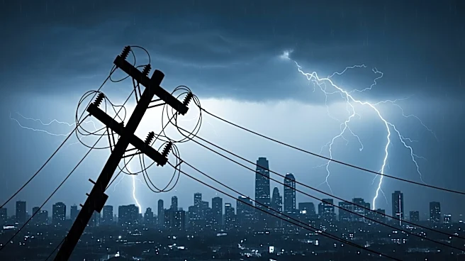
Severe weather impacted the Pittsburgh region on Saturday afternoon, leading to power outages for thousands and prompting several weather alerts. The storms, which were expected to hit after 2 p.m., brought
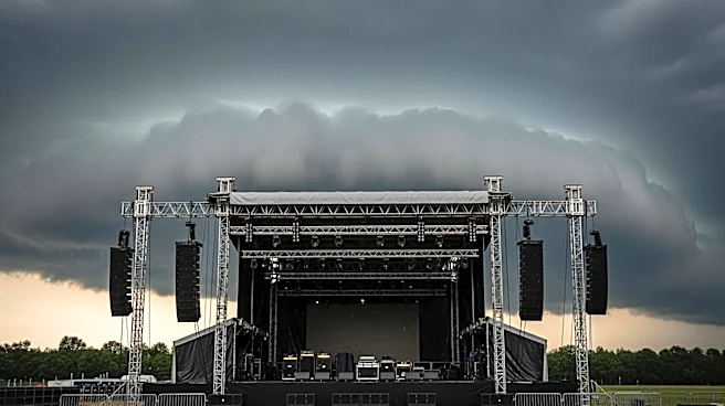
damaging winds and hail, with the possibility of isolated tornadoes. The Storm Prediction Center categorized the threat as a 'slight risk,' indicating a 2 out of 5 on their scale. Residents were advised to stay weather-aware as heavy downpours were likely, potentially disrupting outdoor events. The weather system was expected to move south of I-70 by late evening, with patchy fog possible overnight. A dry and quiet Sunday was forecasted, with temperatures in the mid-80s.
Why It's Important?
The severe weather conditions in Pittsburgh highlight the ongoing challenges posed by extreme weather events, which can disrupt daily life and pose safety risks. Power outages affect thousands of residents, impacting homes and businesses, and necessitating emergency responses. The potential for tornadoes, although low, underscores the need for preparedness and effective communication from weather services. Such events can strain local resources and highlight the importance of infrastructure resilience in the face of climate-related challenges. The economic impact can be significant, affecting local businesses and potentially leading to increased insurance claims.
What's Next?
As the severe weather system moves out of the Pittsburgh area, residents can expect a return to more stable conditions on Sunday. However, the forecast for the following week indicates very humid and hot weather, with temperatures reaching the upper 80s and heat indices in the 90s. This could lead to increased energy consumption as people seek to stay cool, potentially straining the power grid further. The next chance for rain showers is expected on Tuesday night and Wednesday morning, which could provide some relief from the heat but also bring the risk of additional storms.