


What's Happening?
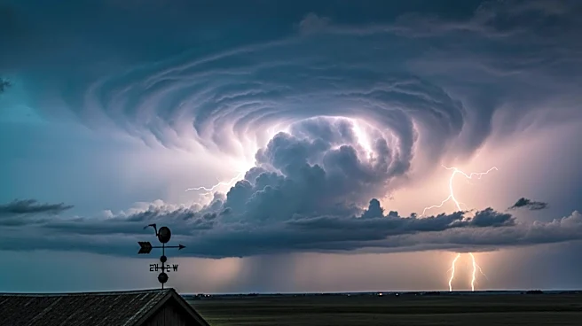
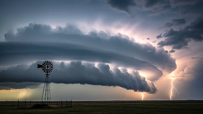
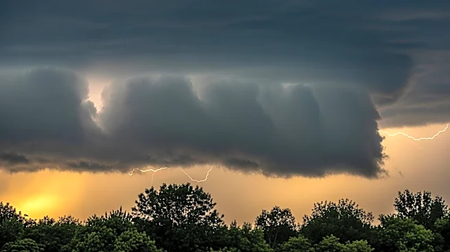
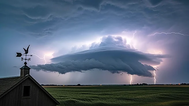
North Texas is currently experiencing a severe weather threat that is expected to persist through the afternoon and into the evening. The region is facing risks of large hail, damaging winds, heavy rainfall, and a non-zero tornado threat. A tornado watch
has been issued and will remain in effect until 11 p.m. for much of the area, including the Metroplex. Thunderstorms have already begun developing near Wichita Falls, with storm movements tracking northward. Residents are being advised to stay alert and monitor weather updates as conditions continue to evolve.
Why It's Important?
The severe weather conditions pose significant risks to the safety and property of residents in North Texas. Large hail and damaging winds can cause substantial damage to homes, vehicles, and infrastructure, while heavy rainfall increases the risk of flooding. The potential for tornadoes adds an additional layer of danger, necessitating preparedness and vigilance from the community. The issuance of a tornado watch indicates that conditions are favorable for tornado development, underscoring the importance of staying informed and ready to take action if necessary.
What's Next?
As the severe weather threat continues, residents should remain vigilant and prepared to respond to any emergency alerts or warnings. Local authorities and weather services will likely provide updates and guidance as the situation develops. It is crucial for individuals to have a plan in place, including identifying safe locations to take shelter in the event of a tornado. Community members should also ensure they have emergency supplies on hand and stay connected to local news sources for real-time information.