



What's Happening?
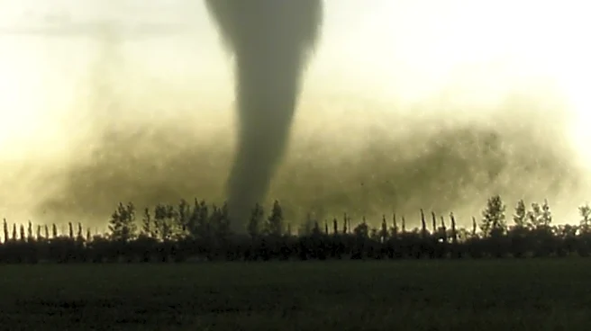
A Mesoscale Convective System (MCS) is predicted to develop over northern Minnesota, bringing severe thunderstorms to Wisconsin. The storms, expected to hit Sunday night, could bring damaging winds, large hail, and intense lightning. The system is part
of a larger weather pattern influenced by a heat dome over the central plains. The storms are anticipated to weaken by Monday morning, but scattered showers may persist.
Why It's Important?
The severe weather poses significant risks to residents and infrastructure in the affected areas. Damaging winds and hail can lead to property damage, power outages, and disruptions in daily life. The potential for severe weather highlights the importance of preparedness and the need for effective communication from weather services to ensure public safety. This event also underscores the broader impacts of extreme weather patterns linked to climate change.