


What's Happening?
The National Oceanic and Atmospheric Administration (NOAA) Climate Prediction Center estimates a greater than 83% chance of a "strong" to "very strong" El Niño through January-March 2027. This El Niño event could rank among the largest in historical records
dating back to 1950. El Niño, the "warm" phase of the El Niño-Southern Oscillation (ENSO), is characterized by warmer-than-normal ocean temperatures in the tropical Pacific Ocean due to weakened trade winds. This climate pattern typically lasts nine to twelve months and occurs every two to seven years. While El Niño influences weather patterns globally, its specific impact on U.S. regions varies and is not always clear. For instance, Denver Water's analysis of historical strong El Niño years showed inconsistent precipitation patterns in Colorado, with some mountain counties appearing drier and Denver County tending to be wetter. NOAA forecasts generally indicate warmer conditions in the Northern U.S., drier conditions in parts of the Midwest and South, and wetter conditions across the southern tier of states.
Why It's Important?
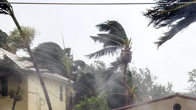
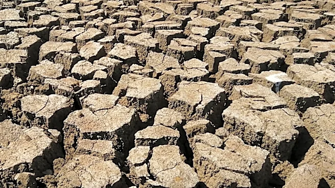
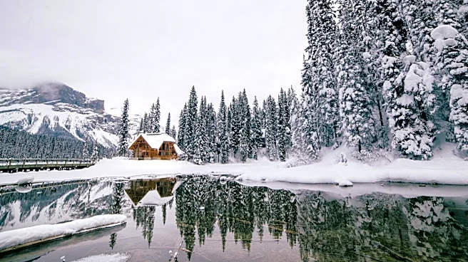
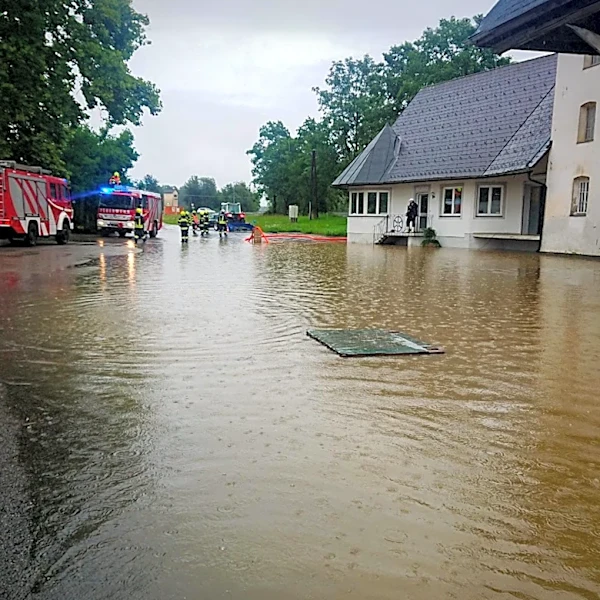
The anticipated strong El Niño carries significant implications for various sectors across the United States. For agriculture, altered precipitation patterns could lead to droughts in some regions and increased rainfall in others, affecting crop yields and water management strategies. Energy consumption for heating could see shifts, particularly in areas experiencing warmer-than-average winters, potentially impacting utility costs for consumers. The Pacific Northwest, for example, is expected to have a warmer and drier winter, which could reduce snowpack crucial for summer water supplies and negatively affect wildlife like salmon. Conversely, the Gulf Coast and Southeast are projected to be wetter, increasing the risk of flooding. The uncertainty surrounding regional impacts means that communities and industries need to prepare for a range of potential outcomes, from water scarcity to increased storm activity, highlighting the need for adaptive planning in infrastructure and resource management.
What's Next?
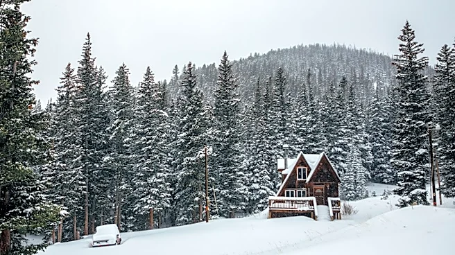
The current El Niño is expected to strengthen through the fall and winter before weakening in the spring of 2027. NOAA's seasonal outlooks will continue to provide probabilities for temperature and precipitation anomalies, guiding regional preparations. While a strong El Niño increases the likelihood of certain weather impacts, it does not guarantee specific conditions everywhere, meaning individual cold snaps and snowstorms can still occur even in generally warmer winters. Stakeholders, including water management agencies, agricultural producers, and emergency services, will closely monitor updated forecasts to adjust their strategies. For instance, areas prone to drought will need to conserve water, while regions expecting increased rainfall will need to prepare for potential flooding. The long-term implications for global temperatures are also significant, with projections suggesting that 2027 could be one of the warmest years on record globally due to the heat released by this El Niño event.
Beyond the Headlines
The current El Niño event, potentially one of the strongest on record, underscores the complex interplay between natural climate phenomena and broader climate change trends. While El Niño is a natural cycle, its occurrence against a backdrop of a warming planet raises questions about the potential for amplified impacts. Scientists are still debating whether climate change will increase the frequency or intensity of strong El Niño events, but the combination of a powerful El Niño with rising global temperatures could lead to more extreme weather events. For instance, the potential for higher sea levels along the U.S. West Coast due to Kelvin waves associated with El Niño, combined with existing sea-level rise from climate change, could exacerbate coastal flooding and erosion. This highlights the need for a deeper understanding of these interactions to develop more resilient strategies for climate adaptation and disaster preparedness in the face of increasingly unpredictable weather patterns.