



What's Happening?
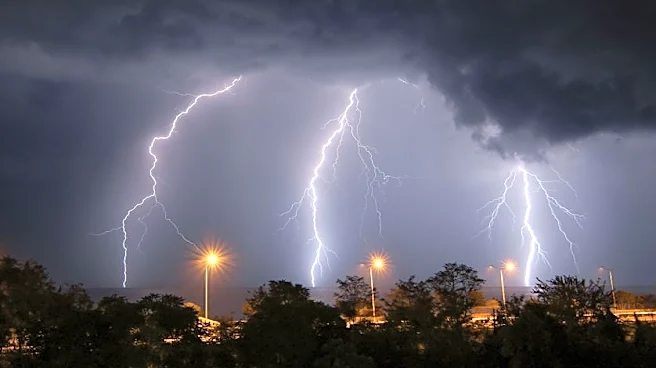
Central Indiana is experiencing severe weather conditions, including damaging winds and oppressive heat, expected to persist through midweek. The region, particularly along the I-74 corridor and northeast Indiana, is facing threats of flash flooding and potential
tornadoes. Temperatures are forecasted to reach the mid-80s to low 90s, with heat indices exceeding 100°F. Overnight, temperatures will remain warm and muggy, only dipping to the upper 60s and low 70s. Organized severe weather clusters are anticipated to bring heavy rainfall and gusty winds on Tuesday and Wednesday, with a brief respite expected on Thursday before the heat and humidity return over the weekend.
Why It's Important?
The severe weather poses significant risks to residents and infrastructure in central Indiana. The potential for flash flooding and damaging winds could lead to property damage, power outages, and disruptions in daily life. The oppressive heat adds to the danger, particularly for vulnerable populations such as the elderly and those without access to air conditioning. Emergency services and local authorities may face increased demand as they respond to weather-related incidents. The situation underscores the importance of preparedness and the need for effective communication from weather services to keep the public informed and safe.
What's Next?
Residents should prepare for continued severe weather conditions through Wednesday night, with the possibility of localized flooding and power outages. Authorities may issue weather advisories or warnings as conditions develop. A temporary break in the weather is expected on Thursday, providing a short window for recovery and preparation before the return of high temperatures and humidity over the weekend. Community members are advised to stay informed through local news and weather updates and to take necessary precautions to ensure safety.