





What's Happening?
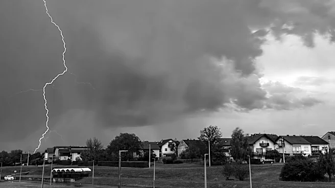
Maryland is under a severe weather alert as strong storms are expected to develop on Tuesday afternoon and evening. The Storm Prediction Center has placed most of Maryland under a slight risk category, indicating a likelihood of severe weather. The primary
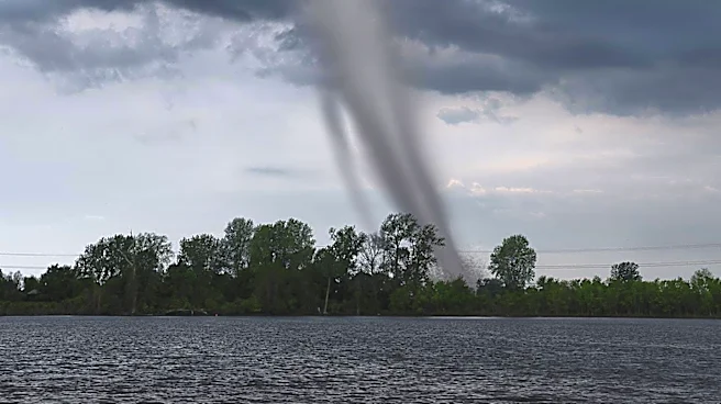
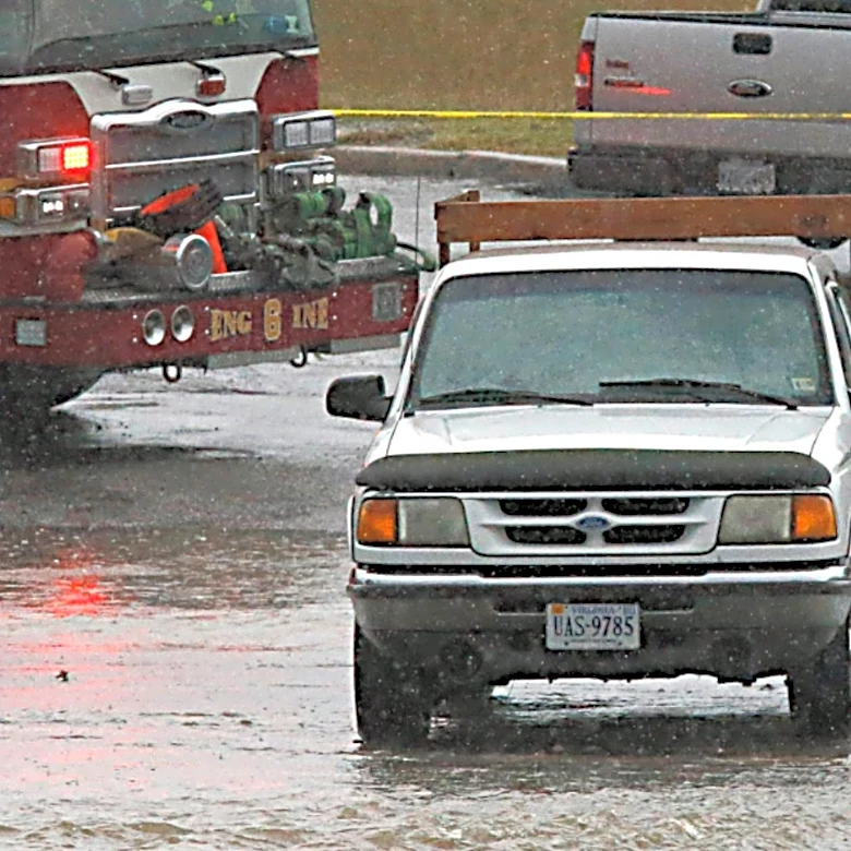
threats include damaging wind gusts of 50-60 mph and a low-end risk for tornadoes. Flood watches have been issued as some areas may experience heavy rainfall in a short period, leading to potential flooding. Residents are advised to exercise caution, particularly in flood-prone areas, and to avoid driving through flooded roads.
Why It's Important?
The severe weather poses significant risks to public safety and infrastructure in Maryland. High winds can lead to property damage, power outages, and hazardous travel conditions. The potential for flooding increases the risk of road closures and damage to homes and businesses. This weather event underscores the importance of emergency preparedness and the need for residents to stay informed through local weather updates. The economic impact could be substantial, affecting local businesses and potentially leading to costly repairs and recovery efforts.
What's Next?
As the storms progress, emergency services and local authorities will likely monitor the situation closely, providing updates and assistance as needed. Residents should stay tuned to local news and weather channels for real-time information and heed any warnings or advisories issued by officials. In the aftermath, there may be a need for cleanup and repair efforts, particularly in areas hardest hit by the storms. Community support and resources will be crucial in aiding recovery and ensuring public safety.