


What's Happening?
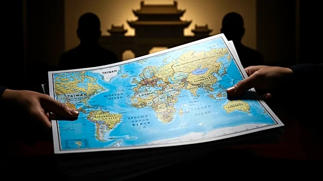
Chinese customs officers in Shandong province have seized 60,000 maps intended for export, citing mislabeling of Taiwan and omissions of important islands in the South China Sea. The maps are deemed problematic as they allegedly endanger China's national
unity and territorial integrity. The seizure reflects China's sensitivity regarding territorial claims, particularly in the South China Sea, where its claims overlap with those of neighboring countries like the Philippines and Vietnam.
Why It's Important?
The seizure of maps underscores the ongoing territorial disputes in the South China Sea and China's assertive stance on its claims. These actions could exacerbate tensions with neighboring countries and impact diplomatic relations. The incident highlights the geopolitical significance of map representations and their role in international relations. It also reflects China's efforts to control narratives related to its territorial claims.
What's Next?
The seizure may lead to increased scrutiny of exported goods from China, particularly those related to territorial representations. Neighboring countries may respond diplomatically or through international forums to address their concerns over China's territorial claims. The situation could influence future negotiations and discussions on territorial disputes in the region.
Beyond the Headlines
The incident raises broader questions about the role of cartography in geopolitical conflicts and the power of map representations in shaping perceptions of territorial boundaries. It also highlights the challenges of balancing national interests with international trade and diplomacy.