







What's Happening?
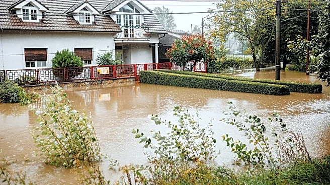
North Carolina experienced its wettest rain event in over a year, providing much-needed relief to drought-affected areas. A frontal boundary combined with moisture from Tropical Storm Bertha resulted in significant rainfall across the state, with some
areas receiving over six inches of rain. This event has helped reduce precipitation deficits and improve soil moisture levels, although long-term drought impacts remain. The rain has also benefited reservoirs and groundwater levels, though full recovery will take time.
Why It's Important?
The heavy rains are a positive development for North Carolina, which has been experiencing long-term drought conditions. Improved water levels in reservoirs and soil moisture can benefit agriculture, water supply, and local ecosystems. However, the state remains vulnerable to future dry spells, and continued monitoring and water management are essential. The event also highlights the potential influence of climate patterns like El Niño on regional weather, which could affect future rainfall and drought conditions.
What's Next?
While the recent rains have provided temporary relief, North Carolina must remain vigilant as the summer continues. The Climate Prediction Center suggests a warm and dry August, which could reverse recent gains. Authorities will need to manage water resources carefully and prepare for potential future drought conditions. The state will also monitor the ongoing hurricane season, as tropical systems can significantly impact rainfall and drought recovery.