


What's Happening?
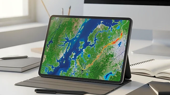
NASA's Applied Remote Sensing Training (ARSET) program is providing a two-part live online training session on February 24 and 26, 2026. This training aims to educate participants on using NASA satellite data to understand land cover and land use change
(LCLUC). The course will focus on how classification models in RStudio can be utilized to create maps and metrics that quantify these changes. The training is free and open to the public, targeting professionals interested in coding and land cover change analysis. This initiative is part of NASA's efforts to enhance understanding of human impact on Earth's surface and to support natural resource management, land-use planning, and the prediction of land change consequences.
Why It's Important?
Understanding land cover and land use change is critical for managing natural resources and planning sustainable urban development. By offering this training, NASA is equipping professionals with the tools needed to monitor and analyze these changes effectively. This knowledge is vital for addressing environmental challenges such as deforestation, urban sprawl, and agricultural expansion. The ability to accurately map and predict land changes can lead to more informed decision-making in conservation efforts and urban planning, ultimately contributing to more sustainable development practices.
What's Next?
Participants who complete the training will be better equipped to apply these techniques in their respective fields, potentially leading to more accurate and efficient land management strategies. As more professionals gain these skills, there could be a broader adoption of satellite imagery analysis in various sectors, enhancing the ability to respond to environmental changes. This could also lead to further collaborations between NASA and other organizations focused on environmental monitoring and sustainability.