


What's Happening?
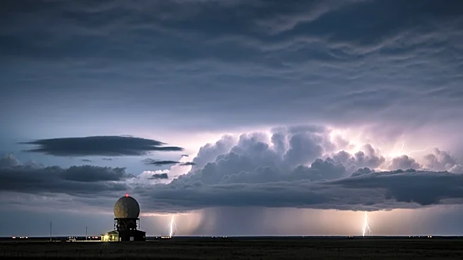
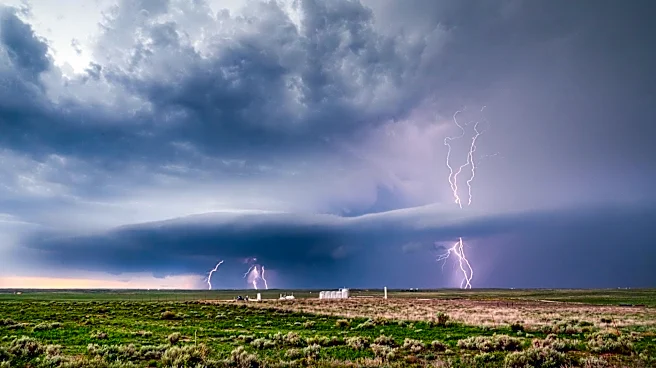
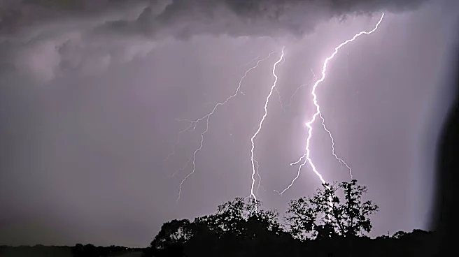
North Texas is experiencing a First Alert Weather Day due to the threat of strong to severe storms capable of producing large hail and damaging winds. The day began with cloudy and humid conditions, with temperatures in the 70s to 80s. A cold front moving
in from the north is expected to increase the likelihood of showers and thunderstorms throughout the day. The tornado risk is low, but residents are advised to be prepared for potential severe weather impacts.
Why It's Important?
The severe weather threat in North Texas poses risks to public safety and infrastructure, with the potential for hail and wind damage to vehicles, buildings, and power lines. The situation highlights the importance of timely weather alerts and the need for residents to stay informed and take precautions. The economic impact could be significant, affecting transportation, businesses, and daily activities. The event underscores the challenges of managing severe weather in densely populated areas and the importance of emergency preparedness.
What's Next?
Residents in North Texas are advised to monitor weather updates and be prepared for potential severe weather impacts throughout the day. The cold front is expected to stall in some areas, prolonging the storm threat into the evening. Emergency services and local governments will likely remain on high alert, coordinating response efforts and providing updates to the public. The situation may prompt discussions on improving weather forecasting and emergency response strategies to better prepare for future severe weather events.