





What's Happening?
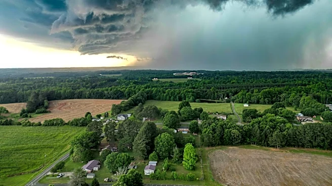
The weather forecast for Monday, August 3, 2026, in the Finger Lakes region indicates a transition from cloudy skies with scattered showers in the early morning to gradually increasing sunshine by the afternoon. The day will start with temperatures in the upper
60s, accompanied by southwest winds at 5-10 mph. As the day progresses, northwest winds will develop, reaching around 15 mph with gusts over 30 mph, helping to reduce humidity levels. High temperatures are expected to be in the low to mid-70s. By evening, skies will clear, and temperatures will drop to the mid-60s, with calm winds continuing overnight. The air quality is expected to remain normal throughout the day.
Why It's Important?
This weather pattern is significant for residents and businesses in the Finger Lakes region as it marks a shift from humid conditions to more comfortable weather. The reduction in humidity and the presence of clear skies can improve outdoor conditions, benefiting local tourism and outdoor activities. Additionally, the normal air quality index suggests no immediate health concerns related to air pollution, which is crucial for public health, especially for individuals with respiratory conditions. The forecasted weather changes can also impact agricultural activities, as the reduction in humidity and clear skies may influence crop conditions and farming schedules.
What's Next?
Looking ahead, the weather is expected to remain favorable with lots of sunshine and nearly calm winds on Tuesday, with highs reaching the upper 70s and low 80s. This continued pattern of clear and comfortable weather could encourage more outdoor activities and events in the region. Businesses and local authorities may plan accordingly to take advantage of the pleasant weather conditions. Residents should stay informed about any updates to the forecast, especially if planning outdoor activities or travel.