


What's Happening?
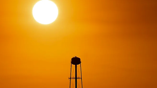
South Carolina is currently experiencing an extended period of above-normal temperatures due to a ridge of high pressure over the eastern United States. Temperatures are expected to reach the 90s across much of the state, with coastal areas slightly cooler
in the 80s. This weather pattern is more typical of late June rather than mid-May. The high-pressure system is also suppressing thunderstorm activity, leading to very high UV Index levels.
Why It's Important?
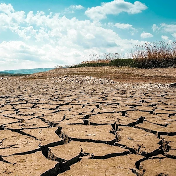
The unseasonably high temperatures in South Carolina are indicative of broader climate trends that can have significant implications for public health, agriculture, and energy consumption. Prolonged heat can exacerbate drought conditions, impact crop yields, and increase the demand for electricity as residents rely more on air conditioning. Additionally, the high UV Index poses a risk for skin damage and heat-related illnesses, necessitating public health advisories.
What's Next?
As the week progresses, the ridge of high pressure is expected to weaken, allowing a frontal boundary to bring increased rain chances and cooler temperatures by the weekend. This change could provide some relief from the heat and help alleviate drought conditions. Residents are advised to stay hydrated, limit outdoor activities during peak heat, and monitor weather updates for any changes in the forecast.