
What's Happening?
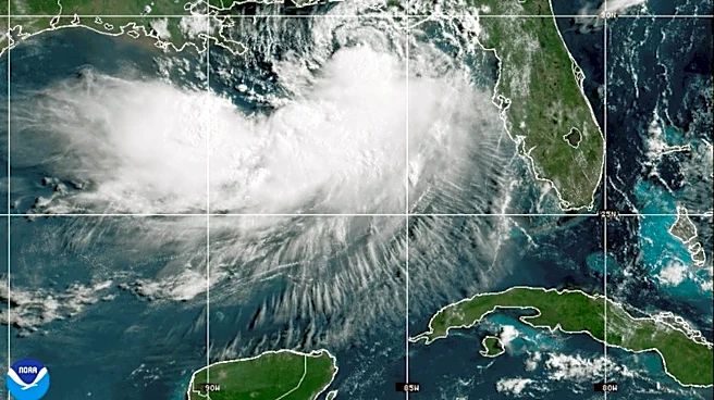
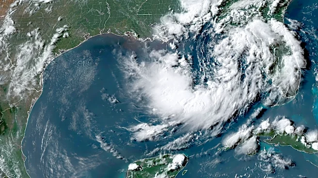
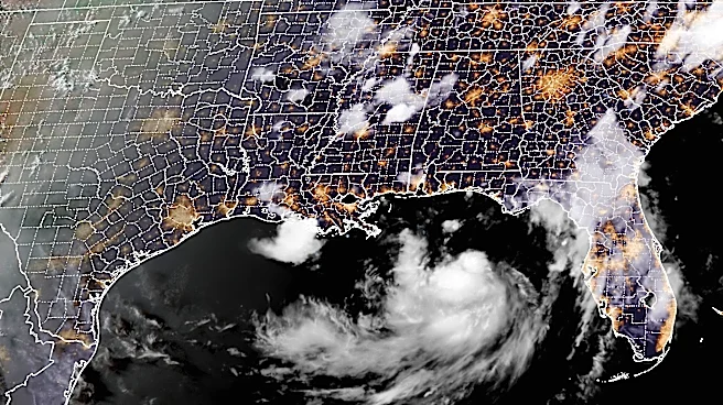
Tropical Storm Bertha, which formed from the second tropical depression of the Atlantic hurricane season, has weakened as it moves west along the Gulf Coast. The storm made landfall in southeastern Louisiana
with sustained winds of 45 mph. Despite its weakening, Bertha continues to spread tropical-storm-force winds across the northern Gulf, with warnings in effect from the Alabama/Florida border to Cameron, Louisiana. The storm is expected to maintain its intensity as it approaches the Texas coast, where it is forecast to dissipate inland by Thursday night or Friday.
Why It's Important?
The weakening of Tropical Storm Bertha does not eliminate the risks it poses to the Gulf Coast. The storm's winds and potential for storm surge could still lead to hazardous conditions, particularly in areas already vulnerable to flooding. The ongoing threat underscores the importance of preparedness and response efforts in coastal communities. The storm also serves as a reminder of the broader challenges posed by the Atlantic hurricane season, which can bring multiple storms and significant impacts to the region.
What's Next?
As Bertha continues its westward movement, it is expected to bring rainfall amounts of 1-4 inches, with some areas receiving up to 6 inches. This could exacerbate flooding concerns, particularly in low-lying areas. Local authorities are likely to continue monitoring the storm's impact and providing updates to residents. The storm's progression towards Texas suggests that the state could experience similar weather conditions, prompting further preparations and response efforts.