
What's Happening?
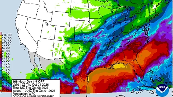
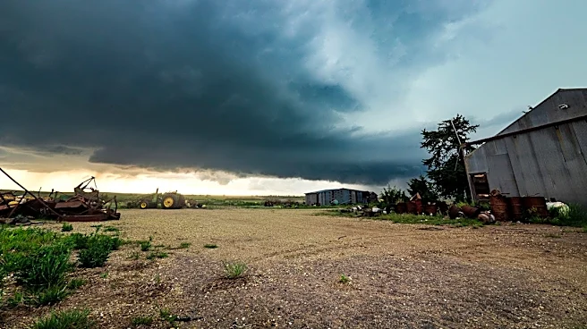
Kansas has experienced unusual weather patterns, including more than a dozen tornadoes and heavy rains, following an "incredible run" of 37 days with above-normal temperatures. Matthew Sittel, assistant
state climatologist, noted that while daytime temperatures were normal, nighttime lows were unusually high for September. For instance, Goodland's coldest September temperature was 50 degrees, compared to a normal low of 45, an unprecedented occurrence in over 130 years of climate data. Similarly, Wichita recorded 60 degrees as its coldest September temperature, also unprecedented. These conditions are occurring as El Niño, a climate pattern characterized by warmer-than-average ocean temperatures in the Pacific, strengthens. Sittel indicated that the June, July, and August average sea surface temperature was the most above normal since 1950, based on the Relative Oceanic Niño Index (RONI).
Why It's Important?
The strengthening El Niño and its potential impact on Kansas weather are significant for several reasons. A wetter winter, as historically associated with El Niño years, could alleviate drought conditions in some parts of the state, benefiting agriculture and water resources. However, it also carries the risk of increased flooding, which could impact infrastructure, displace communities, and incur significant economic costs. The unusual temperature patterns, particularly the lack of chilly nights, could affect agricultural cycles, pest control, and energy consumption. Understanding these climate shifts is crucial for state and local authorities to prepare for potential natural disasters, manage resources effectively, and advise residents and industries on necessary precautions. The long-term implications of such strong El Niño events could also influence climate adaptation strategies and urban planning in the region.
What's Next?
While El Niño typically brings slightly above-normal precipitation to Kansas during winter months, Sittel emphasizes that this is an average tendency, not a guarantee. The current El Niño is exceptionally strong, with sea surface temperatures higher than in previous years, making precise predictions challenging due to limited historical data for such intense events. Kansas residents and authorities should monitor updated weather forecasts closely. Farmers may need to adjust planting schedules or crop choices based on precipitation outlooks. Emergency services will likely prepare for potential flooding or severe weather events. Further research and data collection on strong El Niño events will be crucial for refining future climate models and improving preparedness strategies for similar occurrences.
Beyond the Headlines
The current weather phenomena in Kansas, influenced by a strengthening El Niño, highlight the broader implications of climate variability and change. The unprecedented temperature records and severe weather events underscore the increasing unpredictability of regional climates. This situation prompts deeper questions about the long-term shifts in global weather patterns and their localized effects. It also brings into focus the scientific community's ongoing efforts to understand and predict these complex climate phenomena, such as the El Niño-Southern Oscillation (ENSO) cycle. The challenges in forecasting the exact outcomes of a "super El Niño" reveal the limitations of current climate models and the need for continuous research and data collection to enhance our predictive capabilities and build more resilient communities in the face of evolving climate conditions.