



What's Happening?
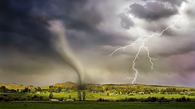
A marginal severe weather risk has been issued for much of northeast, east-central, and central Kansas for Friday. The primary concerns associated with this weather system are wind gusts that could reach up to 60 mph and hail the size of quarters. The Storm
Prediction Center anticipates activity as early as late afternoon on Friday. However, the National Weather Service Topeka office's forecast indicates potential storm activity might not begin until before sunrise on Saturday. There is some variability in the forecast models regarding the exact timing. Regardless of the initial timing, storms are expected to subside shortly after sunrise on Saturday. There is a possibility of storms returning Sunday afternoon through very early Monday, but no severe weather is currently anticipated for the latter half of the upcoming weekend.
Why It's Important?
This marginal severe weather risk is important for residents and businesses across a significant portion of Kansas, as it signals the potential for disruptive and damaging weather conditions. Wind gusts of up to 60 mph can cause power outages, damage to property, and create hazardous driving conditions. Hail the size of quarters can lead to significant damage to vehicles, crops, and roofs. For agricultural communities, even marginal severe weather can have economic implications, particularly if crops are in a vulnerable stage. Local emergency services and utility companies will need to be prepared for potential responses to storm-related incidents. The variability in forecast models also highlights the challenge of precise weather prediction and the need for continuous monitoring by residents and authorities to ensure safety and preparedness.
What's Next?
Residents in the affected areas of northeast, east-central, and central Kansas should monitor local weather updates from sources like KVOE and KVOE.com. The Storm Prediction Center and the National Weather Service Topeka office will continue to provide updated forecasts, which may refine the timing and intensity of the expected storms. Individuals should prepare for potential power outages and secure any outdoor items that could be affected by strong winds. Farmers may need to take precautions to protect livestock or equipment. Emergency management agencies will be on standby to respond to any severe weather impacts. The forecast suggests a potential return of storm activity on Sunday, so continued vigilance will be necessary throughout the weekend.
Beyond the Headlines
The recurring nature of severe weather risks in Kansas underscores the broader challenges of climate variability and its impact on regional communities. While a 'marginal' risk might seem minor, it still carries the potential for localized damage and disruption, contributing to the cumulative effects of weather-related events. This situation also highlights the critical role of meteorological forecasting in public safety and economic stability, particularly in states heavily reliant on agriculture. The slight discrepancies between different forecasting models, as mentioned in the source, illustrate the complexities of atmospheric science and the continuous efforts to improve predictive accuracy. For residents, it reinforces the importance of having emergency plans in place, including communication strategies and safe shelters, as severe weather can escalate rapidly.