







What's Happening?
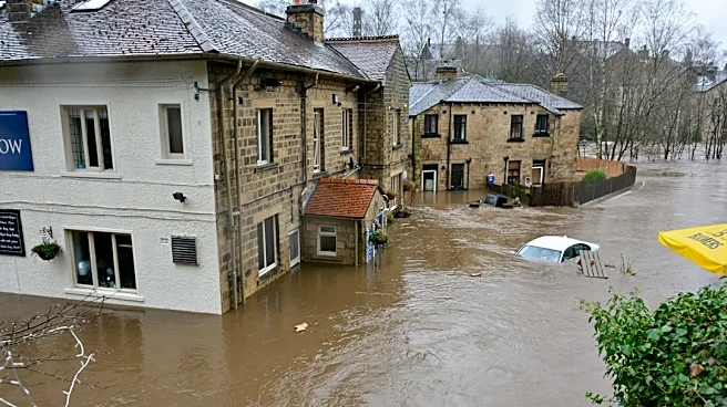
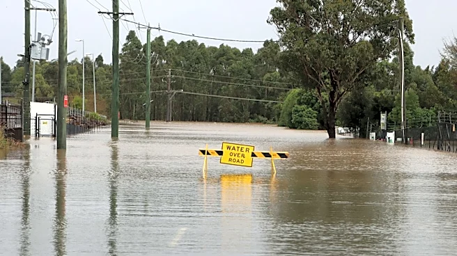
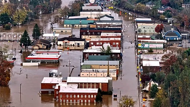
Southeast Tennessee experienced major flooding early Thursday morning, November 5, 2026, due to heavy rainfall and thunderstorms that began Wednesday night. The severe weather, part of a 'First Alert Weather Day,' brought significant precipitation to parts
of Tennessee, North Carolina, and Georgia. A line of thunderstorms moved through the region between 8 p.m. and midnight, particularly affecting Polk County, Tennessee, and Gilmer and Fannin counties in Georgia. This resulted in major flooding in the Ocoee River. The National Weather Service estimated that up to 10 inches of rainfall fell in Gilmer and Fannin counties over a 12-hour period. Minor flooding in the Ocoee River began around 12:30 a.m., escalating to moderate flooding by 2:30 a.m., and major flooding by 3:30 a.m. The Ocoee River crested at a record 18.05 feet, surpassing the previous record of 17.75 feet set on February 16, 1990. By Thursday afternoon, the river was at an Action flood stage and was expected to fall below this stage by Thursday night.
Why It's Important?
The major flooding in southeast Tennessee highlights the significant impact of severe weather events on local communities and infrastructure. Record-breaking river levels, such as those seen in the Ocoee River, pose immediate threats to public safety, property, and local economies. The topography of the Ocoee River, which flows from Union County, Georgia, into Polk County, Tennessee, along the Blue Ridge Mountains, explains how heavy rainfall in Georgia can exacerbate flooding in Tennessee even after local rain subsides. This interconnectedness underscores the need for regional weather monitoring and emergency response coordination across state lines. Businesses and residents in affected areas face potential disruptions, property damage, and the costs associated with recovery and mitigation efforts. The event also serves as a critical reminder for emergency services and local governments to review and update flood preparedness and response protocols.
What's Next?
As of Thursday afternoon, the Ocoee River was at an Action flood stage, with expectations for it to recede below this level by Thursday night. Local authorities and emergency services will likely continue monitoring river levels and assessing the full extent of the damage in affected areas. Residents in southeast Tennessee, particularly those near the Ocoee River, will need to remain vigilant for residual impacts such as road closures, power outages, and potential hazards from floodwaters. Recovery efforts will likely involve assessing infrastructure damage, clearing debris, and providing assistance to affected individuals and businesses. The event may also prompt discussions among local and state officials regarding long-term flood mitigation strategies and improvements to early warning systems to better prepare for future severe weather events.
Beyond the Headlines
The record-breaking flood levels in the Ocoee River underscore a broader trend of increasing intensity in weather events, potentially linked to changing climate patterns. While the source does not explicitly mention climate change, the occurrence of a new record crest for the river, surpassing one set decades ago, suggests a shift in hydrological conditions. This event could prompt a reevaluation of existing flood plain maps and zoning regulations in the region, as well as a deeper look into the resilience of local infrastructure against extreme weather. The economic implications extend beyond immediate damage, potentially affecting insurance rates, property values, and the long-term viability of businesses in flood-prone areas. Furthermore, the incident highlights the critical role of meteorological forecasting and public alert systems in minimizing harm and ensuring timely responses during natural disasters.