
What's Happening?
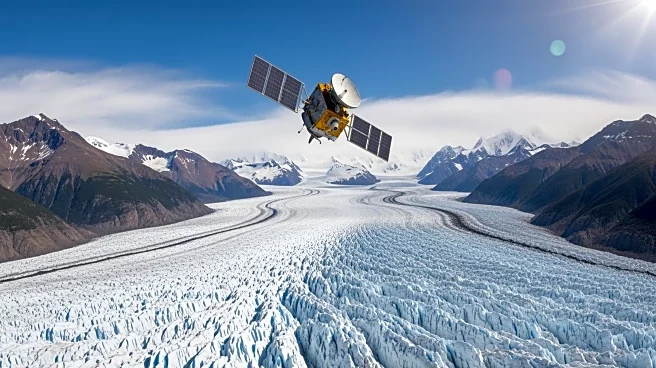
The European Space Agency's Copernicus Sentinel-2 satellite has captured a striking image of the glaciers in Chile's Laguna San Rafael National Park, highlighting the significant retreat of these ice formations
over time. The park, located along Chile's Pacific coast in the Patagonian region, spans approximately 10,500 square miles and contains 28 outlet glaciers, including the prominent San Rafael and San Quintin glaciers. The satellite imagery, compared with a similar image from 1987, reveals the dramatic changes in the landscape due to glacier retreat, which has resulted in the formation of new proglacial lakes and contributed to rising sea levels.
Why It's Important?
The retreat of glaciers in Patagonia is a visible indicator of climate change, with significant implications for global sea levels and local ecosystems. As glaciers melt, they contribute to rising sea levels, which can lead to coastal erosion and increased flooding in low-lying areas. The formation of new lakes and changes in water flow can also impact local biodiversity and water resources. This satellite imagery provides critical data for scientists studying climate change and its effects, helping to inform policy decisions and conservation efforts aimed at mitigating these impacts.