
What's Happening?
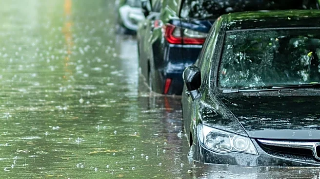
Scattered afternoon downpours are expected to peak inland across Houston and Southeast Texas on Sunday, bringing a slight risk of localized street flooding. Slow-moving storms are anticipated to produce
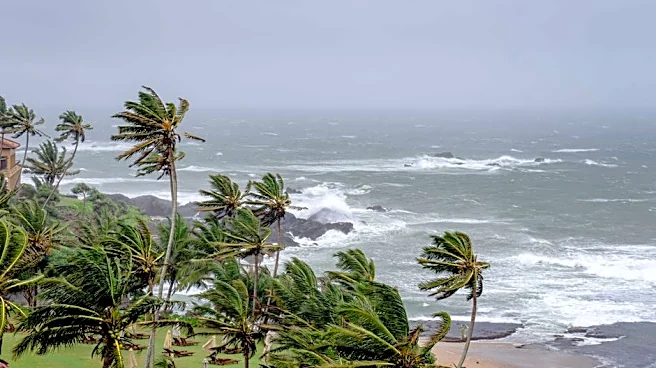
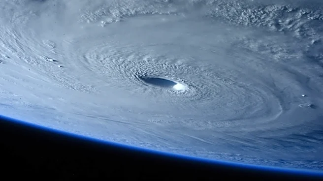
brief heavy rain and gusty winds, particularly during the afternoon. Residents are advised to remain alert and avoid flooded areas. The Labor Day weekend will continue to be hot and humid, with temperatures in the low to mid-90s and heat index values exceeding 100°F. Daily chances for pop-up showers and storms are projected to persist into the upcoming week, maintaining seasonably hot and steamy conditions across the region. The tropical Atlantic is expected to remain quiet for the next week, though activity in the Pacific includes three brewing hurricanes, one of which may generate significant waves for Hawaii.
Why It's Important?
The potential for localized street flooding in Houston and Southeast Texas poses immediate safety concerns for residents and can disrupt daily activities and transportation. The combination of heavy rainfall and high humidity, with heat index values over 100°F, creates uncomfortable and potentially hazardous conditions, especially for vulnerable populations. The persistent chance of pop-up showers and storms throughout the week means that these conditions are not isolated to a single day, requiring ongoing vigilance from local authorities and the public. While the Atlantic remains calm, the active hurricane season in the Pacific highlights the broader regional weather patterns and the potential for distant weather systems to indirectly influence coastal areas through wave action, even if direct tropical threats are absent.
What's Next?
Residents in Houston and Southeast Texas should continue to monitor local weather advisories and forecasts from sources like FOX 26 Houston for updates on rainfall intensity and potential flooding. Emergency services will likely remain on standby to respond to any flood-related incidents. The ongoing hot and humid conditions will necessitate continued public health advisories regarding heat safety, including recommendations for hydration and avoiding prolonged outdoor exposure. As daily chances for pop-up showers persist, localized disruptions due to heavy rain could occur throughout the week. While the tropical Atlantic is quiet, authorities will continue to monitor global tropical activity, especially given the active hurricane season in the Pacific, to assess any potential long-range impacts.
Beyond the Headlines
The recurring pattern of localized flooding in urban areas like Houston underscores broader challenges related to urban development, infrastructure capacity, and climate change. As metropolitan areas expand, increased impervious surfaces can exacerbate runoff, making cities more susceptible to flash flooding even from moderate rainfall. This situation highlights the ongoing need for investment in resilient infrastructure, such as improved drainage systems and green infrastructure solutions, to mitigate the impacts of increasingly frequent and intense weather events. Furthermore, public awareness campaigns about flood safety and preparedness become crucial in communities regularly exposed to such risks, fostering a culture of readiness and reducing potential harm to life and property.