



What's Happening?
Utah is experiencing a heat wave with Salt Lake City reaching triple-digit temperatures. Heat alerts are in effect across the state through the weekend. There is a marginal risk of excessive rainfall, particularly in the southern half of Utah, with potential
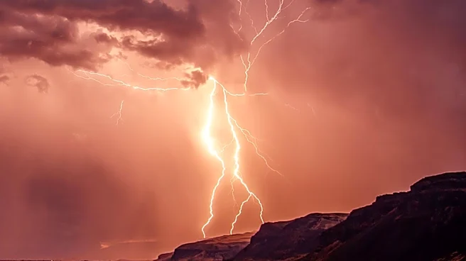
thunderstorms. The Wasatch Front may see isolated thunderstorms, but mostly partly cloudy skies are expected. The heat is expected to persist with a high of 99 degrees on Sunday, although smoke levels are anticipated to decrease slightly. Cooler temperatures and increased chances of showers and thunderstorms are forecasted for the upcoming workweek, especially in central and southern Utah.
Why It's Important?
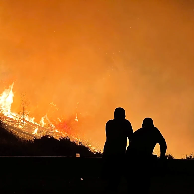
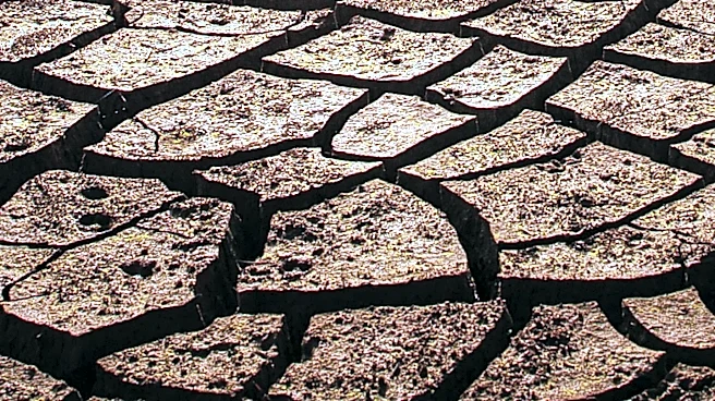
The extreme heat and potential thunderstorms pose significant challenges for residents and emergency services in Utah. Prolonged high temperatures can lead to health risks such as heat exhaustion and heatstroke, particularly for vulnerable populations. The risk of thunderstorms and excessive rainfall could lead to flash flooding, especially in areas with dry, hard ground that cannot absorb water quickly. These weather conditions also complicate firefighting efforts, as seen with ongoing wildfires in the region. The situation underscores the importance of preparedness and the need for effective communication from authorities to ensure public safety.
What's Next?
As the heat wave continues, residents are advised to stay hydrated, avoid outdoor activities during peak heat, and monitor weather updates. Emergency services are likely to remain on high alert, ready to respond to any weather-related incidents. The forecasted cooler temperatures and increased rainfall could provide some relief, but also bring new challenges such as potential flooding. Authorities will need to balance these risks while continuing to manage ongoing wildfire threats. Public advisories and alerts will be crucial in guiding residents through these changing conditions.