





What's Happening?
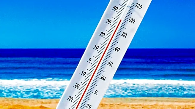
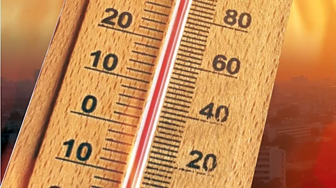
San Antonio is experiencing typical summer weather with high temperatures and little chance of rain, while the Nueces River continues to flood due to rains from two weeks ago. The region is under a heat high, with temperatures reaching or exceeding 100°F
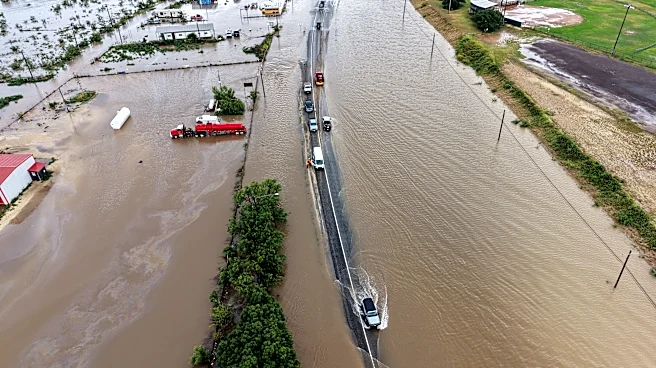
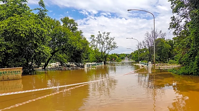
daily. Although the weather remains dry, the effects of previous torrential rains are still being felt as the Nueces River floods areas downstream. The Cotulla area is seeing receding waters, but major flooding is expected near Three Rivers and George West later in the week. Residents in these areas are advised to remain alert as the river is predicted to reach major flood stage by Thursday.
Why It's Important?
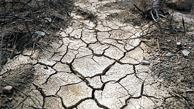
The combination of extreme heat and ongoing flooding presents significant challenges for residents and local authorities in San Antonio and surrounding areas. The heat wave increases the risk of heat-related illnesses, particularly for vulnerable populations, while the flooding poses threats to property and infrastructure. The situation underscores the importance of emergency preparedness and effective communication between local authorities and communities. As climate patterns continue to shift, regions like San Antonio may face more frequent and severe weather events, highlighting the need for adaptive strategies to mitigate the impact of such occurrences.
What's Next?
As the week progresses, residents in flood-prone areas along the Nueces River will need to monitor updates from local authorities and be prepared for potential evacuations. The heat wave is expected to persist, with only a slight chance of rain over the weekend. Local governments and emergency services will likely continue to provide resources and support to affected communities. Long-term, the region may need to invest in infrastructure improvements and community education to better handle future weather-related challenges.