



What's Happening?
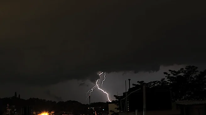
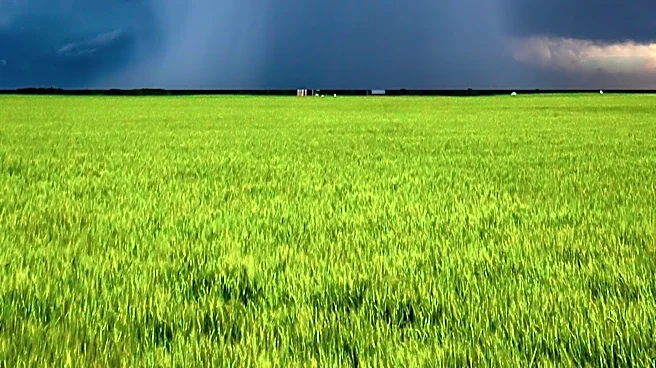
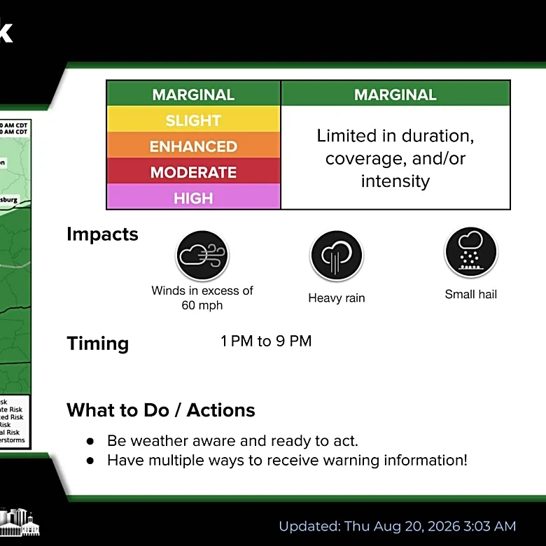
North Dakota is anticipating a weather pattern bringing showers and isolated storms from Wednesday evening into Thursday morning. A warm front is moving into the region, which will lead to warmer temperatures and increased humidity. While showers and storms are
expected, severe weather is considered unlikely. Lingering showers and thunder will move eastward into Thursday. Morning lows on Thursday are forecast to be in the upper-50s, with afternoon highs reaching the upper-70s to mid-80s. The afternoon will also be breezy, with northwest winds gusting up to 20 miles per hour. The workweek is expected to end on a warm and breezy note with mostly sunny skies on Friday, though isolated thundershowers are possible, mainly north and east of the area, in the afternoon and evening. Temperatures over the weekend will be near average, with lows in the upper-50s to low-60s and highs in the upper-70s to mid-80s, with a slight chance of isolated showers on Sunday evening.
Why It's Important?
This weather forecast is important for residents and businesses in North Dakota as it outlines potential disruptions and conditions for the coming days. The expectation of showers and isolated storms, even if not severe, can impact outdoor activities, agricultural operations, and daily commutes. Increased humidity and warmer temperatures could affect energy consumption and comfort levels. For the agricultural sector, the timing and intensity of rainfall are crucial for crop development, and while severe storms are not anticipated, any precipitation is noteworthy. The breezy conditions could also pose challenges for certain outdoor work or recreational plans. The forecast provides essential information for planning and preparedness, ensuring that individuals and industries can adjust to the changing weather conditions, particularly as the back-to-school season gets underway, which often involves increased outdoor activities and travel.
What's Next?
Following the Wednesday night and Thursday morning showers and storms, the region can expect a mostly sunny and breezy Friday, with isolated thundershowers possible in the afternoon and evening, primarily to the north and east. The weekend will see near-average temperatures, with a slight chance of isolated showers on Sunday evening. Looking ahead to next week, isolated rain chances are predicted for Monday into Tuesday. Otherwise, the week is expected to be partly to mostly sunny and dry. Towards the end of August, seasonably warm, above-average temperatures are projected to persist, with morning lows in the upper-50s to low-60s and afternoon highs in the upper-70s to mid-80s, a few degrees above normal for that time of year. Residents should continue to monitor local forecasts for any updates or changes to these predictions.
Beyond the Headlines
The consistent pattern of warm temperatures and periodic rain chances, even if isolated, reflects broader climate trends that can influence regional ecosystems and resource management. While not explicitly severe, the recurring nature of these weather disturbances can contribute to cumulative effects on soil moisture, water levels, and vegetation health. The extended forecast for above-average temperatures towards the end of August suggests a continuation of warmer seasonal conditions, which could have implications for energy demand, particularly for cooling, and potentially extend the growing season for some crops while increasing the risk of drought in other areas if rainfall remains sporadic. Understanding these subtle shifts in weather patterns is crucial for long-term planning in agriculture, urban development, and environmental conservation efforts across North Dakota.