


What's Happening?
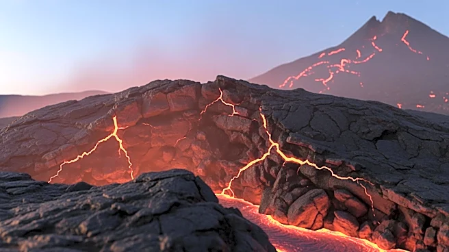
The Taftan volcano in southeastern Iran has shown signs of activity after being dormant for over 700,000 years. Recent satellite data indicates that the ground near the summit has risen by approximately 3.5 inches over a ten-month period, suggesting a buildup
of pressure. Scientists have used InSAR, a radar method, to track these changes, as the volcano lacks on-the-ground monitoring instruments. The uplift is believed to be caused by gas pressure building up in the hydrothermal system beneath the volcano, rather than fresh magma reaching the surface. This development has prompted scientists to call for increased monitoring and preparation in the region.
Why It's Important?
The awakening of the Taftan volcano is significant due to its potential impact on nearby communities and the environment. Although an eruption is not imminent, the buildup of gas pressure could lead to phreatic blasts, which are steam-driven explosions. These explosions can release gases that affect air quality and agriculture in the surrounding areas. The city of Khash, located 31 miles away, could experience sulfur odors if the wind aligns. The situation underscores the importance of monitoring volcanic activity to mitigate risks and prepare evacuation routes and hazard maps for affected regions.
What's Next?
Scientists are advocating for the installation of seismometers and GPS units to better monitor the volcano's activity. Continuous readings of gas emissions, such as sulfur dioxide and carbon dioxide, are crucial for assessing pressure changes. Authorities are encouraged to develop evacuation plans and share guidance with local communities. Satellite monitoring will continue to provide updates on ground movement, helping to predict potential steam events. The study serves as a wake-up call for regional authorities to allocate resources for ongoing observation and preparedness.
Beyond the Headlines
The Taftan volcano's activity highlights the challenges of monitoring remote volcanic systems. The use of satellite technology, such as InSAR, is essential for tracking changes in areas lacking ground-based instruments. This approach allows scientists to detect subtle movements and assess risks without direct access to the site. The situation also emphasizes the need for international collaboration in volcanic research, as similar dormant volcanoes worldwide could pose threats if they become active. Understanding the dynamics of these systems is crucial for global volcanic risk management.