






What's Happening?
The Indian National Space Promotion and Authorization Centre (IN-SPACe) has chosen three Indian space companies to develop advanced High-Resolution Indian Human Settlement Layers (IHSL) across Indian cities. The selected companies are SpacePixxel Technologies
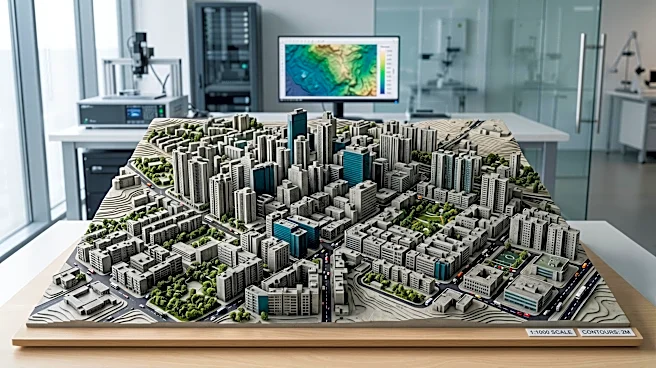
Pvt. Ltd., KaleidEO Space Systems Pvt. Ltd., and Azista Industries Pvt. Ltd. These firms will receive a collective seed funding of ₹1.46 crore under IN-SPACe’s Seed Fund Scheme for Use Case Demonstration by Non-Government Entities (NGEi). The initiative aims to create an indigenous satellite-based system for 3D reconstruction of urban environments using monocular imageries. This project directly addresses a requirement from NITI Aayog for accurate and detailed geospatial data on human settlements, which is crucial for urban planning, infrastructure development, disaster risk assessment, and population analysis. The pilot demonstrations will initially focus on Bengaluru and Shimla, representing diverse urban landscapes, to compare urban growth and changes in built-up density over time.
Why It's Important?
This initiative is significant for India's urban development and technological self-reliance in the space sector. Rapid urbanization in India necessitates precise data for effective planning, and this project aims to fill critical data gaps. By fostering indigenous technology and utilizing Indian satellite data, the program reduces reliance on foreign solutions and strengthens India's domestic space capabilities. The development of high-resolution 3D models of cities will provide urban planners with comprehensive insights into both horizontal and vertical expansion, enabling more informed decisions on infrastructure and resource allocation. Furthermore, the project supports the growth of Indian space startups, providing them with funding and opportunities to develop solutions for real-world challenges, thereby boosting the nation's space economy and technological innovation. The success of these pilots could establish scalable, homegrown capabilities applicable across all Indian cities, enhancing national resilience and strategic autonomy in geospatial intelligence.
What's Next?
The three selected companies will proceed with developing and demonstrating their indigenous satellite-based systems for 3D reconstruction. The pilot projects in Bengaluru and Shimla will be crucial for validating the effectiveness and accuracy of the developed techniques. Following successful demonstrations, the models and methodologies could be scaled up for deployment across other Indian cities. This would involve further collaboration between IN-SPACe, government departments, and the private sector to integrate these advanced geospatial data layers into national urban planning frameworks. The initiative is also expected to encourage more non-government entities to participate in India's space sector, potentially leading to further innovations and applications of space technology for societal benefit. The insights gained from comparing settlement patterns over different time periods will also inform future urban development policies and strategies.
Beyond the Headlines
This project underscores a broader strategic shift in India towards leveraging its growing space capabilities for domestic development and governance. Beyond urban planning, the high-resolution 3D reconstruction techniques could have profound implications for various sectors, including environmental monitoring, smart city initiatives, and even defense applications. The emphasis on indigenous technology also highlights India's commitment to self-sufficiency (Atmanirbhar Bharat) in critical technological domains. Ethically, the availability of such detailed geospatial data raises questions about data privacy and security, necessitating robust frameworks for data governance and usage. Culturally, the project reflects India's ambition to be a leader in space technology, transforming scientific exploration into practical tools for national progress and improving the quality of life for its citizens. This initiative could also position India as an exporter of advanced urban mapping solutions to other developing nations facing similar urbanization challenges.