
What's Happening?
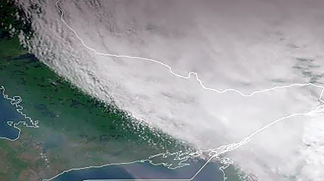
The northwest region is experiencing a drop in temperatures, with evening lows settling into the 50s. Labor Day is expected to be sunny with highs in the mid-70s to near 80, accompanied by low humidity. A cold front is anticipated to approach from the west on Thursday and Friday, increasing cloud cover and bringing chances of scattered showers and thunderstorms. Highs are projected to reach the low 80s on Thursday and upper 70s on Friday.
Why It's Important?
The upcoming weather changes are significant for residents and businesses in the northwest region, as they may impact outdoor activities and events planned for Labor Day. The cold front could also affect agricultural operations and water management strategies due to the potential for rain. Understanding these weather patterns is crucial for local authorities and emergency services to prepare for any adverse conditions.
What's Next?
As the cold front approaches, residents should prepare for possible rain and thunderstorms later in the week. Local governments and event organizers may need to adjust plans accordingly. Meteorologists will continue to monitor the situation to provide updated forecasts and warnings as necessary.
Beyond the Headlines
The shift in weather patterns highlights the importance of climate monitoring and adaptation strategies in the region. Long-term changes in weather could influence local ecosystems and agricultural practices, necessitating adjustments in resource management and planning.