







What's Happening?
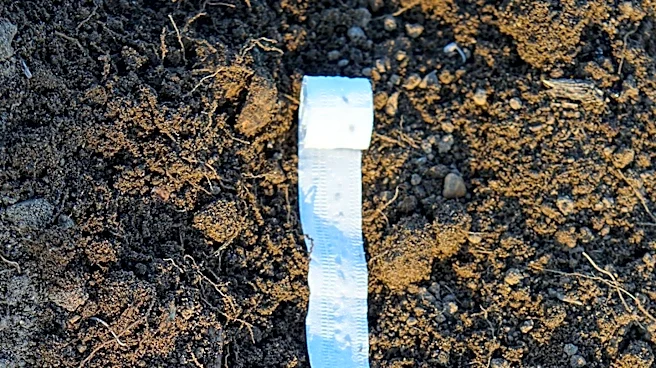
Researchers at the University of Illinois Urbana-Champaign, in collaboration with Oak Ridge National Laboratory, have developed a new high-resolution, three-dimensional model to simulate how water moves through tile-drained agricultural fields. Published
in the Journal of Hydrology, this study addresses the limitations of previous models in resolving field-scale differences in water movement, which are influenced by soil, topography, and tile design. The team utilized two tile-drained fields at the University of Illinois Energy Farm to incorporate mapped tile locations and analyze how factors like model resolution, microtopography, soil properties, and tile depth and spacing impact drainage. The model provides a detailed picture of surface ponding, water table dynamics, and the speed at which the water table drops after rainfall. A key finding was that while lower resolutions (up to 40-meter) could estimate overall field drainage, finer resolutions (2-meter) were crucial for accurately depicting spatial patterns, local surface depressions, and near-drain flow structures, which are vital for understanding nutrient transport.
Why It's Important?
This new modeling capability is significant for sustainable land management and precision conservation in extensive agricultural landscapes across the U.S. Tile drainage systems are common in many agricultural regions, and understanding their precise hydrological impact is critical for managing water quality and nutrient runoff, particularly nitrates. By accurately simulating water pathways, farmers and land managers can make more informed decisions about drainage design, potentially reducing environmental impacts and optimizing crop growth. The model allows for testing different tile locations, depths, and spacing virtually, which can lead to more efficient and environmentally sound drainage solutions without costly physical alterations. This research lays a stronger foundation for predicting nitrate movement, a major contributor to water pollution, and ultimately aims to create a 'field-to-watershed digital twin' to guide landscape design for the bioeconomy.
What's Next?
The research team plans to build upon this hydrological framework by incorporating carbon and nitrogen cycling and reactive transport processes into the model. This expansion will enable a more comprehensive understanding of how water movement influences nutrient budgets in different bioenergy crops compared to traditional corn-soybean rotation systems. The ultimate goal is to develop a 'field-to-watershed digital twin' that integrates surface and subsurface processes. This advanced tool will guide landscape design for the bioeconomy, support sustainable land management practices, and enhance precision conservation efforts across vast agricultural areas. Future applications could include optimizing irrigation, minimizing fertilizer runoff, and designing more resilient agricultural systems in the face of changing climate patterns.
Beyond the Headlines
The development of this high-resolution 3D model represents a significant step towards a more data-driven and predictive approach to agricultural management. Beyond immediate applications in water and nutrient management, this technology could foster broader adoption of digital twins in environmental science and agriculture. The ability to simulate complex hydrological processes with such detail could also inform policy decisions related to water usage, conservation incentives, and environmental regulations. Ethically, this tool could empower farmers to adopt practices that are both economically viable and environmentally responsible, potentially mitigating conflicts between agricultural productivity and ecological preservation. Long-term, this could contribute to the resilience of U.S. agricultural systems against climate change impacts, such as increased rainfall variability and drought conditions, by enabling proactive adaptation strategies.