




What's Happening?
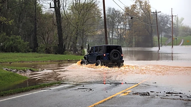
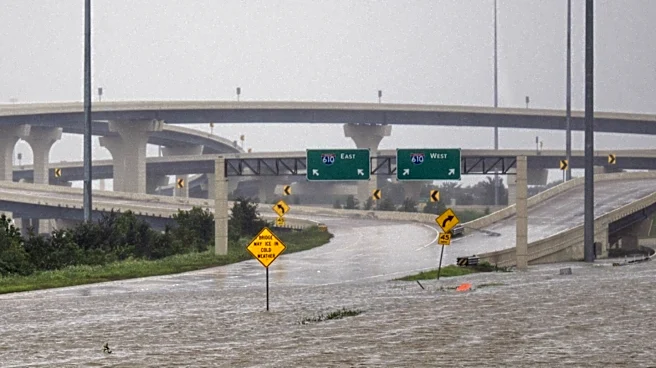
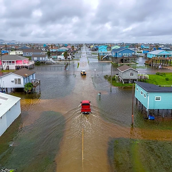
The Mid-Atlantic region experienced severe storms and potential flooding along the Interstate 95 corridor on Thursday, impacting areas from Virginia to Connecticut. Heavy thunderstorms brought damaging wind gusts and rainfall rates of up to 2.5 inches
per hour, with total rain accumulations ranging from 3 to 7 inches in some areas. Flash flooding was possible across the region, with a flood watch in effect from Philadelphia to New York City until Friday morning. Authorities in Delaware reported 'significant damage' in parts of Dover after a 'likely' tornado touched down, leading to numerous downed trees and localized flooding. New York City's John F. Kennedy Airport warned of potential flight disruptions, and over 700 flights were canceled at Northeast airports by Thursday evening. Pennsylvania Governor Josh Shapiro noted reports of tornadoes and significant damage in York and Lancaster counties.
Why It's Important?
The severe weather event along the I-95 corridor has significant implications for transportation, public safety, and local economies. The I-95 corridor is a vital economic artery, and disruptions due to flooding and severe storms can cause widespread travel delays, impacting commuters, commercial shipping, and air travel. The 'significant damage' reported in Delaware, potentially from a tornado, highlights the increasing intensity and unpredictability of weather events, posing direct threats to infrastructure and human life. The widespread flight cancellations further underscore the economic ripple effects, affecting business travel and supply chains. Such events place a considerable strain on emergency services and local governments, requiring rapid response and recovery efforts. The recurring nature of severe weather also raises questions about urban resilience and preparedness in densely populated coastal regions.
What's Next?
A flood watch remains in effect for areas from Philadelphia to New York City until Friday morning, indicating continued vigilance is required for potential flash flooding. Emergency services in affected areas, particularly in Delaware, will focus on damage assessment and recovery efforts, including clearing downed trees and addressing localized flooding. Travelers in the Northeast should anticipate ongoing flight delays and cancellations, and monitor local weather advisories before commuting. State and local authorities will likely continue to assess the extent of the damage and coordinate relief efforts. This event may also prompt discussions among urban planners and policymakers about enhancing infrastructure resilience and emergency response protocols in preparation for future severe weather occurrences along the vulnerable I-95 corridor.
Beyond the Headlines
The severe weather impacting the I-95 corridor underscores the growing challenges posed by climate change and extreme weather events in highly urbanized and economically critical regions. The combination of heavy rainfall, potential tornadoes, and flash flooding highlights the vulnerability of existing infrastructure, including transportation networks and urban drainage systems. This event could accelerate discussions on climate adaptation strategies, such as investing in green infrastructure to manage stormwater, upgrading power grids to withstand severe winds, and improving early warning systems. Furthermore, the disruption to air travel and ground transportation illustrates the interconnectedness of modern economies and the cascading effects that localized weather events can have on national commerce and daily life, emphasizing the need for comprehensive resilience planning.