What is the story about?
What's Happening?
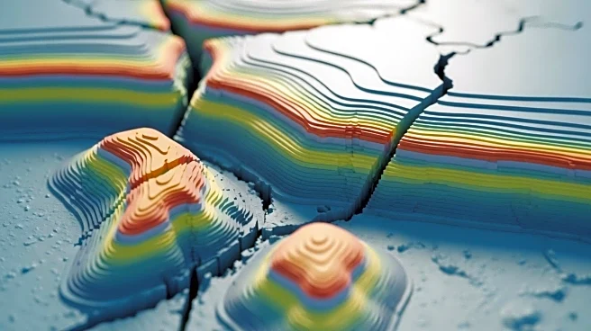
Researchers have developed a new 3D seismotectonic model for the Northern Apennines Pedeapenninic margin, aimed at improving seismic hazard assessment in the region. The model incorporates a comprehensive dataset, including geological maps, seismic profiles, and stress field data, to accurately represent the geological and geodynamic context of the area. The model covers the region between Parma and Bologna, known for its high seismic activity, including the 2012 Emilia earthquake. The study simplifies the complex stratigraphy into eight main stratigraphic units, providing a detailed view of active and seismogenic faults.
Why It's Important?
The development of this 3D model is significant for enhancing the understanding of seismic risks in the Northern Apennines, a region prone to earthquakes. By providing a detailed representation of the area's geological structures, the model can aid in predicting seismic events and improving preparedness and mitigation strategies. This advancement is crucial for local authorities, urban planners, and emergency services, as it can inform infrastructure development and disaster response planning, ultimately reducing the potential impact of future seismic events on communities and economies.
Beyond the Headlines
The creation of the 3D model also highlights the importance of integrating various data sources and advanced technologies in geological research. The use of comprehensive datasets and sophisticated modeling software demonstrates the potential for similar approaches to be applied in other seismically active regions worldwide. This could lead to improved global seismic hazard assessments and contribute to the development of more resilient communities in earthquake-prone areas.


