




What's Happening?
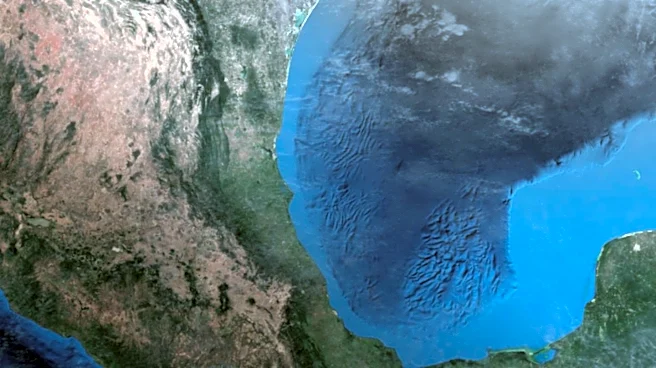
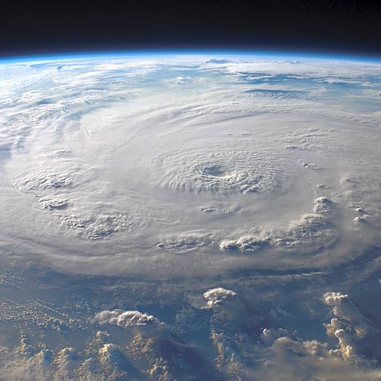
Tropical Storm Bertha made landfall in Louisiana and is now moving westward towards the Texas coast. The storm is expected to bring rainfall, winds, and rising water levels to the region. The US National Hurricane Center has issued warnings for areas
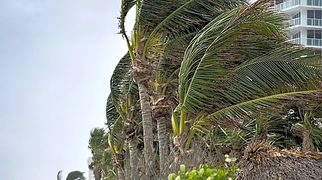
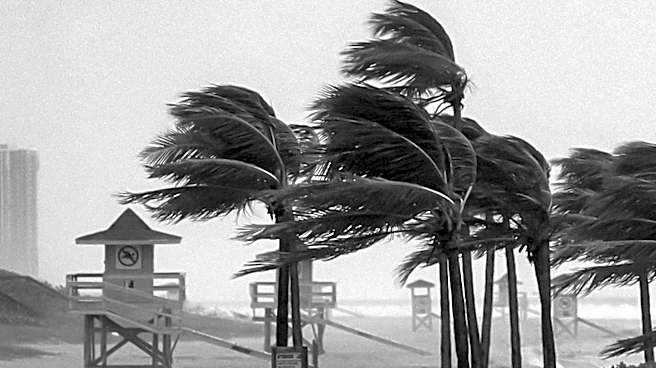
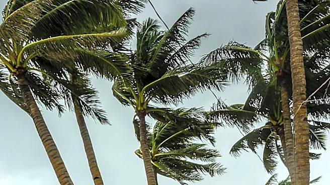
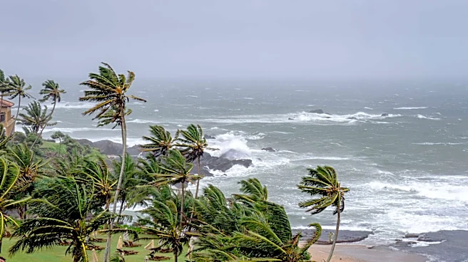
along the Gulf coast, with maximum sustained winds of 45 mph. Coastal flood warnings are in effect, with potential for 2 to 4 inches of rain and isolated totals up to 6 inches. The storm is expected to maintain its strength until reaching Texas, where it will likely dissipate inland.
Why It's Important?
The progression of Tropical Storm Bertha underscores the ongoing threat of tropical storms to the Gulf Coast, highlighting the need for preparedness and effective response strategies. The potential for flooding and wind damage poses risks to communities, infrastructure, and local economies. The storm's impact on Texas and Louisiana could strain emergency services and resources, emphasizing the importance of regional cooperation and planning. As climate change continues to affect weather patterns, the frequency and intensity of such storms may increase, necessitating ongoing investment in resilient infrastructure and disaster response capabilities.
What's Next?
As Bertha approaches the Texas coast, local authorities will continue to monitor the storm's path and issue advisories as needed. Residents in affected areas should remain vigilant and prepared for potential flooding and power outages. The National Hurricane Center will provide updates on the storm's progress, guiding emergency response efforts. The experience of managing Bertha's impact may inform future planning and preparedness efforts, particularly in terms of infrastructure resilience and emergency response coordination.