



What's Happening?
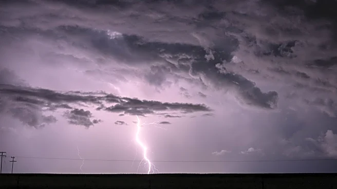
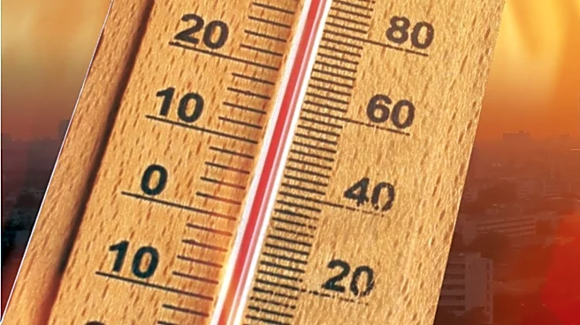
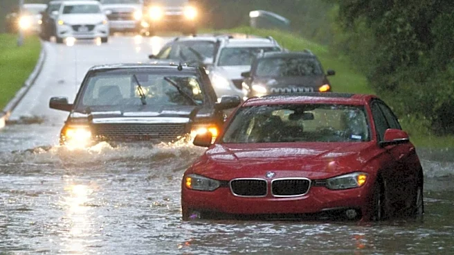
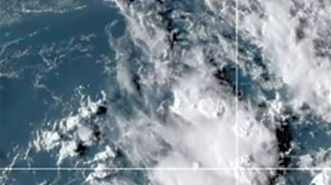
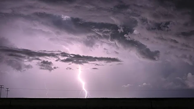
A series of thunderstorms is expected to bring damaging winds and flash flooding to the Midwest and East Coast. The storms, fueled by a heat dome, will impact areas from the Great Lakes to the Northeast. The system has already caused significant damage
in Sioux Falls, South Dakota, with winds up to 90 mph. As the storm moves east, it poses risks of power outages and travel disruptions, particularly along the Interstate 95 corridor.
Why It's Important?
The severe weather threatens to disrupt daily life and infrastructure across a large portion of the U.S. The potential for flash flooding and power outages highlights the need for preparedness and effective emergency response. This event also raises concerns about the increasing frequency and intensity of extreme weather patterns, which could have long-term implications for urban planning and climate resilience strategies.