
What's Happening?
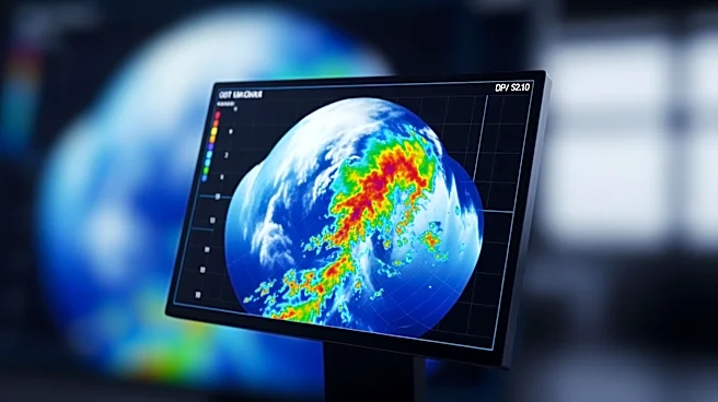
The National Hurricane Center is introducing an updated track forecast cone graphic for the 2026 Atlantic hurricane season, following a two-year experimental phase. The new graphic aims to improve communication
about storm risks and hazards, particularly inland from the coast. It includes inland tropical storm and hurricane watches and warnings, shaded in bright colors to better convey wind risks. The changes are part of the center's efforts to enhance public understanding of storm impacts and improve emergency management responses. The updated graphic will be available in an interactive format, allowing users to zoom, pan, and save images.
Why It's Important?
The updated forecast cone is crucial for improving public safety and preparedness during hurricane season. By providing clearer information about storm risks and extending warnings inland, the new graphic helps communities better understand potential impacts and take appropriate precautions. This enhancement is particularly important as hurricanes can cause significant damage and pose threats to life and property. The improved communication tools support emergency managers in making informed decisions and coordinating responses. The changes reflect the National Hurricane Center's commitment to continually improving its products and ensuring that the public receives accurate and actionable information.
What's Next?
The National Hurricane Center will continue to refine its forecasting tools and communication strategies, incorporating feedback from the public and emergency management professionals. The introduction of the new graphic is part of an ongoing process to enhance the accuracy and effectiveness of hurricane forecasts. As the 2026 hurricane season approaches, the center will monitor the performance of the updated cone and make further adjustments as needed. The goal is to provide the most reliable and comprehensive information possible to help communities prepare for and respond to hurricane threats.