

What's Happening?
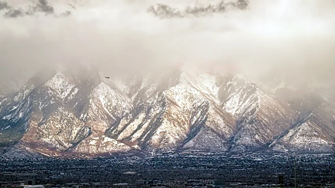
Salt Lake City is bracing for a substantial weather event, with forecasts predicting significant rain and snow. A wet cold front is expected to bring nearly 100% chance of rain, with one-half to three-quarters of an inch possible, before transitioning
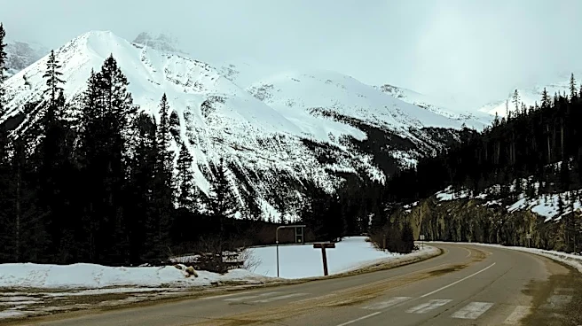
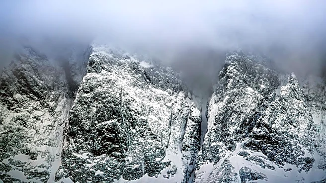
to a mix of rain and snow after 5 p.m. on Tuesday. Temperatures are projected to drop to around 30 degrees Fahrenheit overnight. Winter advisories are now in effect for parts of the Wasatch and nearby mountain zones, where 4 to 10 inches of snow are anticipated in higher terrain, and 1 to 4 inches in the Wasatch Back. This initial storm is part of a back-to-back system, with another wet system forecast for Thursday and Friday, potentially bringing more substantial snowfall to the mountains. Valley neighborhoods may see limited snow accumulation due to warm pavement, but benches and higher elevations are more likely to experience wintry conditions.
Why It's Important?
This weather event is significant for Salt Lake City and surrounding areas due to its potential impact on daily life, infrastructure, and public safety. The combination of heavy rain and subsequent snowfall can lead to hazardous driving conditions, increased traffic congestion, and potential power outages. For residents, preparedness is crucial, as highlighted by the need for emergency car kits and home winterization. The advisories for mountain zones indicate a risk for travelers and outdoor enthusiasts, with road closures or difficult travel conditions possible. Economically, businesses reliant on transportation or outdoor activities may face disruptions. The early onset of winter weather, with some of the latest-season freezes in Utah, also underscores the changing climate patterns and the need for communities to adapt to unpredictable weather shifts.
What's Next?
Residents of Salt Lake City and the surrounding regions should prepare for continued inclement weather. Wednesday is expected to offer a brief respite with mostly sunny skies before the second storm system arrives on Thursday and Friday, bringing more widespread rain and snow. Authorities will likely monitor road conditions closely, especially in mountain passes, and may issue further travel advisories or restrictions. Individuals are advised to ensure their vehicles are winter-ready, including checking tires, fluid levels, and having an emergency kit. Homeowners should also take steps to prevent damage from freezing temperatures, such as insulating pipes and clearing gutters. The National Weather Service will continue to update forecasts, and residents should stay informed through local news channels.
Beyond the Headlines
The recurring nature of these storm systems highlights the broader challenges of winter weather management in regions like Utah, which are accustomed to significant snowfall. Beyond immediate safety concerns, there are long-term implications for water resources, as snowpack in the Wasatch Mountains is a critical source of water for the state. The timing and intensity of these early-season storms can influence the overall winter snowpack, impacting water availability for the coming year. Furthermore, the emphasis on preparedness, from individual car kits to home maintenance, reflects a societal adaptation to extreme weather events, underscoring the importance of community resilience and public awareness campaigns in mitigating potential risks.