


What's Happening?
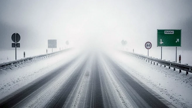
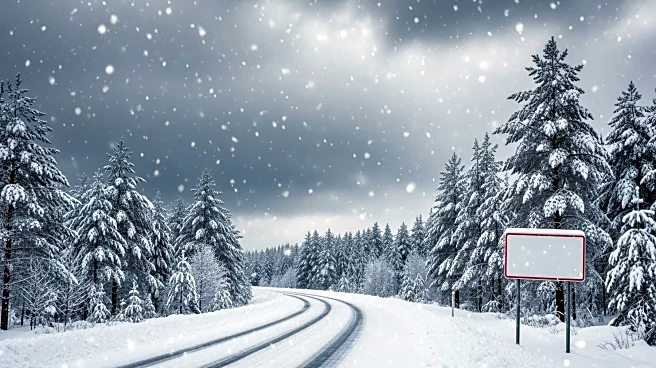
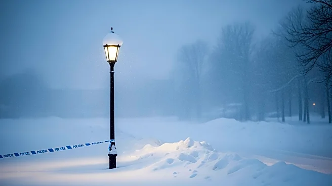
A winter storm watch has been issued for southern Wisconsin, including Kenosha County, from Sunday afternoon through Monday night. The forecast predicts 3 to 6 inches of snow across most areas, including Waukesha and Milwaukee, with higher totals of 6 to 9
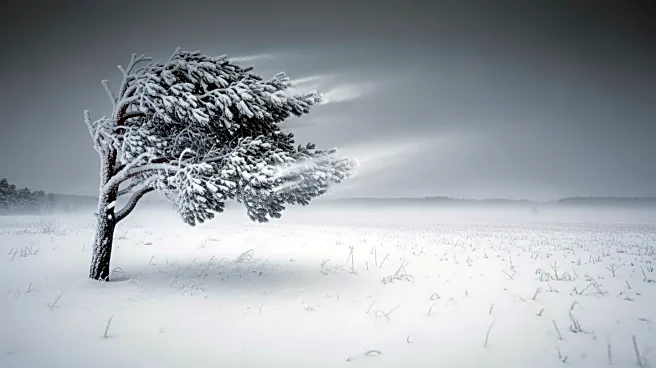
inches expected in Dodge through Sheboygan counties. Northern parts of Fond du Lac county could see up to a foot of snow, with some areas potentially receiving 2 feet from the storm system. Strong winds and blowing snow are anticipated to continue into Monday, creating blizzard conditions that will make travel dangerous, particularly north of Green Bay toward Crivitz. The rain is expected to transition to moderate to heavy snow Sunday evening, persisting into Monday, with winds gusting up to 45 mph. Monday's morning commute is expected to be hazardous, with a possibility of school cancellations. High temperatures will drop into the 20s Monday and Tuesday before warming to near 50 degrees by the end of the week.
Why It's Important?
The impending winter storm is significant due to its potential to disrupt daily life and travel across southern Wisconsin. The heavy snowfall and strong winds could lead to hazardous road conditions, increasing the risk of accidents and travel delays. This may affect school schedules, with possible cancellations, and could impact businesses and services reliant on transportation. The storm's intensity, with blizzard conditions expected in certain areas, underscores the need for residents to prepare for potential power outages and ensure they have necessary supplies. The weather event also highlights the challenges of transitioning between seasons, as Wisconsin experiences fluctuating temperatures and conditions typical of March. The storm's impact on infrastructure and daily activities could have broader implications for local economies and community safety.
What's Next?
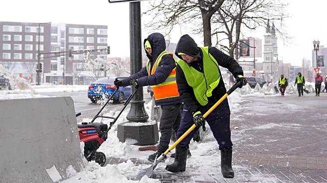
As the storm progresses, residents in affected areas are advised to monitor weather updates and heed warnings from local authorities. Preparations for potential school closures and travel disruptions should be made, with individuals encouraged to avoid unnecessary travel during peak storm conditions. Emergency services and local governments may need to coordinate responses to ensure public safety and manage any arising issues such as power outages or road blockages. The weather system is expected to move out by mid-week, with temperatures rising, which may lead to melting snow and potential flooding in some areas. Continued vigilance and adaptation to changing weather patterns will be crucial for communities in southern Wisconsin.