



What's Happening?
The National Hurricane Center (NHC) has issued a Tropical Weather Discussion, highlighting a Gale Warning in the Western Atlantic. A 1000 mb low-pressure area, situated near 28N58W, is actively generating scattered to numerous heavy showers and thunderstorms
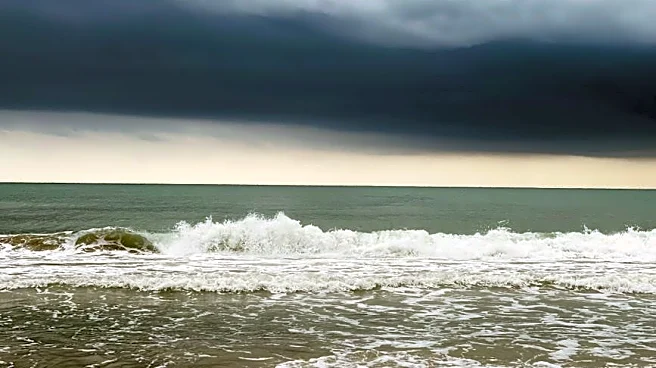
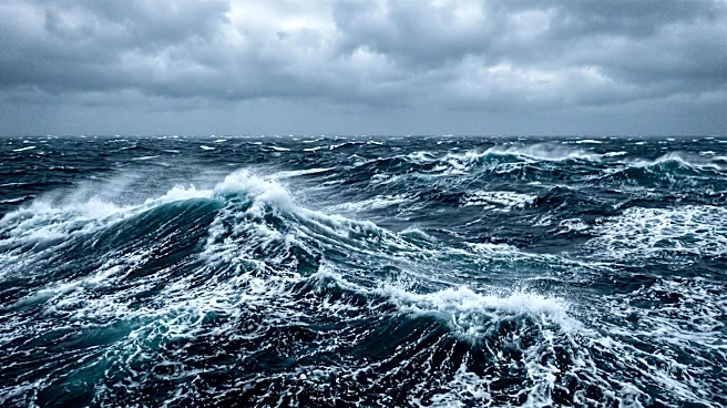
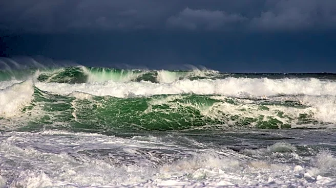
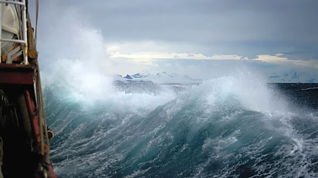
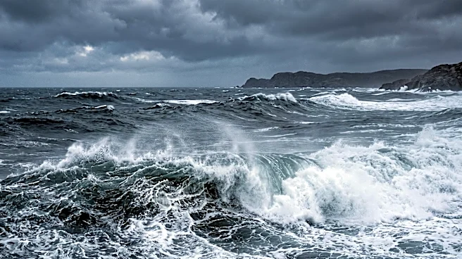
across its eastern semicircle, specifically from 20N to 31N between 38W and 62W. Satellite scatterometer data indicates a broad band of near-gale to gale-force winds, ranging from 30 to 40 knots, in the northeast quadrant within 240 nautical miles of the low's center. Seas in this area are reported to be between 8 and 16 feet. The low is projected to track east-northeastward over the central subtropical Atlantic in the coming days, with gale-force winds and very rough seas, exceeding 12 feet, expected to persist north of the low center through Sunday. Additionally, a monsoon trough and ITCZ are noted in the Atlantic, and a stationary front is affecting the Gulf of America, expected to dissipate by Monday.
Why It's Important?
This Gale Warning in the Western Atlantic carries significant implications for maritime activities, including shipping, fishing, and recreational boating in the affected regions. The presence of gale-force winds and very rough seas poses substantial hazards, increasing the risk of accidents, damage to vessels, and potential loss of life. Commercial shipping routes traversing this area may experience delays or require rerouting, leading to economic impacts. For coastal communities and industries reliant on marine operations, such weather events necessitate heightened preparedness and can disrupt supply chains. The ongoing weather patterns, including the low-pressure system and frontal boundaries, underscore the dynamic nature of Atlantic weather and the critical role of accurate forecasting by agencies like the NHC in ensuring safety and mitigating economic disruptions.
What's Next?
The low-pressure system is forecast to continue its east-northeastward movement through midweek. Strong to gale-force winds and rough to very rough seas, potentially peaking near 16 feet, are expected to persist north of the low, primarily impacting waters north of 28N and east of 65W through today. Mariners and those with interests in the affected areas are advised to closely monitor updates from the National Hurricane Center and adhere to all warnings. The weakening front over the northwest waters is anticipated to dissipate today, while a new cold front is expected to move into the Northwest Gulf on Thursday, bringing freshening winds and building seas. These developments will require ongoing vigilance and adjustments to maritime operations.
Beyond the Headlines
The continuous monitoring and forecasting of such weather phenomena by the National Hurricane Center highlight the critical infrastructure and scientific expertise required to protect lives and property. The interplay of low-pressure systems, monsoon troughs, and frontal boundaries demonstrates the complex atmospheric dynamics that influence weather patterns across vast oceanic regions. Beyond immediate safety concerns, these events contribute to long-term climate data, aiding in the understanding of climate variability and change. The economic ripple effects, from insurance claims to altered trade routes, underscore the broader societal reliance on accurate meteorological information and the resilience of infrastructure to withstand severe weather.