
What's Happening?
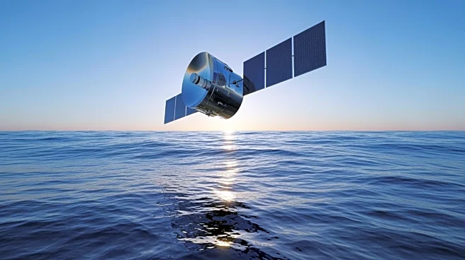
NASA has launched the Sentinel-6B satellite, continuing a 30-year legacy of precise sea level measurements. This mission, part of a collaboration with international partners, aims to extend the record
of ocean height measurements that began in 1992. Sentinel-6B is equipped with advanced instruments, including a radar altimeter and the Advanced Microwave Radiometer, to measure sea surface height with centimeter-level precision. The satellite's data will help track changes in ocean temperature and currents, providing critical insights into global climate dynamics. Sentinel-6B's observations are expected to support local and state governments in making informed decisions about coastal infrastructure protection.
Why It's Important?
The Sentinel-6B mission is crucial for understanding the impacts of climate change on sea levels and ocean dynamics. As more than 90% of the heat trapped by Earth is stored in the oceans, monitoring sea level changes is vital for predicting climate phenomena like El Niño and improving storm forecasts. The data collected by Sentinel-6B will enhance our ability to anticipate and respond to climate-related challenges, benefiting researchers, policymakers, and communities worldwide. This mission represents a significant step forward in international cooperation for climate observation and underscores the importance of long-term environmental monitoring.
What's Next?
Sentinel-6B will continue to provide valuable data for the scientific community and decision-makers, contributing to a deeper understanding of Earth's changing oceans. The satellite's observations will be used to refine climate models and improve forecasts of ocean circulation and storm intensity. As the mission progresses, researchers will analyze the data to identify trends and inform strategies for mitigating the impacts of climate change. The insights gained from Sentinel-6B are expected to support global efforts to address environmental challenges and promote sustainable development.