




What's Happening?
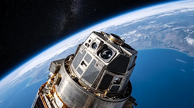
The National Oceanic and Atmospheric Administration (NOAA) has streamlined its Geostationary Extended Observations (GeoXO) program, reducing the planned satellite constellation from six to four. This revision is projected to cut the lifecycle cost by
$6.6 billion, from an initial $19.6 billion to $13 billion. However, this cost reduction comes with significant changes, including the removal of three planned instruments designed for lightning detection, coastal water monitoring, and atmospheric composition measurements. The Government Accountability Office (GAO) has raised concerns regarding the revised cost estimate's independent validation and the adequacy of contingency plans for potential satellite failures or data gaps. Specifically, a timing mismatch could leave NOAA without an operational spare satellite for several months around 2032, the year of the first scheduled GeoXO launch. While the revised design retains major imaging and atmospheric-sounding capabilities, the removed instruments and incomplete contingency planning pose questions about the future of comprehensive weather coverage in the U.S.
Why It's Important?
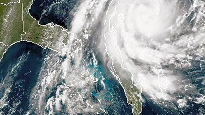
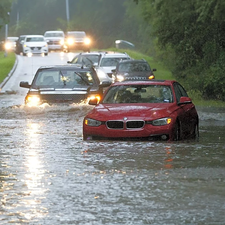
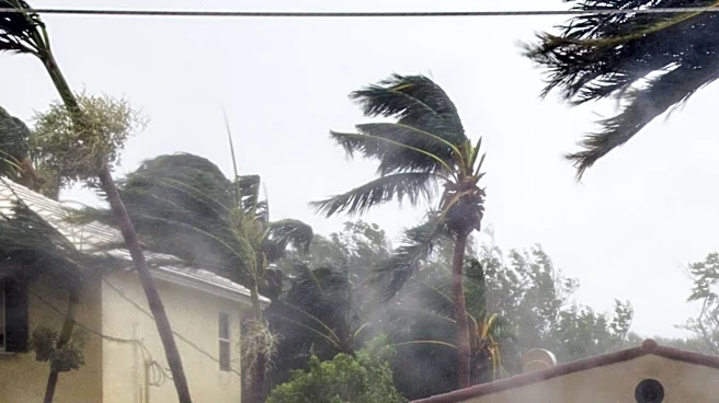
The changes to the GeoXO program carry significant implications for U.S. weather forecasting and disaster preparedness. Geostationary satellites provide continuous monitoring crucial for hurricane warnings, aviation safety, wildfire tracking, and flood preparation, directly impacting emergency managers and the public. The removal of instruments for lightning mapping, ocean color, and atmospheric composition could lead to a reduction in critical environmental observations. For instance, the absence of a next-generation lightning mapper could eventually interrupt the capability to track lightning within storm cells, affecting severe-weather warnings and aircraft safety. Similarly, the lack of an ocean color instrument would hinder monitoring harmful algal blooms, water quality, and oil spills, impacting coastal communities, fisheries, and public health. A potential period without an operational spare satellite introduces a risk of data gaps if an active satellite fails, which could compromise the accuracy and timeliness of forecasts during rapidly changing weather events, affecting transportation, agriculture, and daily life for millions of Americans.
What's Next?
The GAO has made three recommendations to the Department of Commerce, which NOAA has agreed to, though full implementation is yet to be confirmed. These recommendations include providing complete documentation for the revised cost estimate, strengthening contingency plans for satellite failures and alternative data sources, and submitting comprehensive technology-readiness reports for each remaining instrument. Congress and the Department of Commerce are expected to further evaluate the trade-offs between the projected budget reduction and the potential loss of capabilities, the cost of alternative observations, and the consequences of launch delays or on-orbit failures. Future reviews will assess whether the revised program remains on schedule, if the $13 billion baseline is credible, and if NOAA has practical replacements for observations no longer included in GeoXO. Policy decisions made now will determine the scope of weather observations, backup systems, and warning capabilities available to the U.S. throughout the 2030s.
Beyond the Headlines
The debate surrounding NOAA's GeoXO program highlights a broader challenge in public policy: balancing fiscal responsibility with essential public services, particularly in critical areas like weather forecasting and climate monitoring. While cost savings are a clear objective, the long-term societal and economic costs of reduced weather data and potentially less accurate forecasts could be substantial. The ethical dimension involves ensuring that budget decisions do not disproportionately affect vulnerable communities that rely heavily on precise weather information for safety and livelihoods. Furthermore, the reliance on satellite technology for environmental monitoring underscores the need for robust international collaborations and diversified data sources to mitigate risks associated with single-point failures or program reductions. This situation also prompts a re-evaluation of what constitutes 'best value' in public infrastructure projects, considering not just initial investment but also the comprehensive benefits and risks over the system's operational lifespan.