



What's Happening?
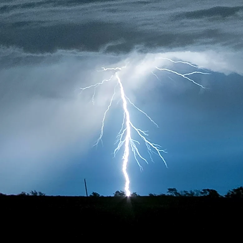
Severe weather moved across Minnesota on Friday, bringing hail to several areas, including St. Cloud and Waite Park. Hailstones reached up to 1.8 inches in diameter in some locations. The storms were accompanied by lightning, thunder, and brief heavy
downpours. The weather is expected to clear by Friday evening, with cooler temperatures and lower humidity. However, more isolated thunderstorms are forecasted for late Saturday night into early Sunday morning, with another chance of storms late Sunday into early Monday.
Why It's Important?
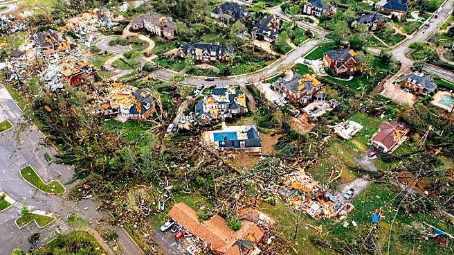
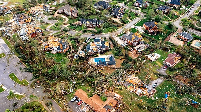
The severe weather events highlight the need for preparedness and awareness among residents, as hail and thunderstorms can cause significant damage to property and pose safety risks. The forecast of additional storms over the weekend suggests that residents should remain vigilant and take necessary precautions. The weather patterns also reflect broader climate trends that may influence future weather-related planning and infrastructure resilience in the region.
What's Next?
Residents are advised to monitor weather updates and prepare for potential storms over the weekend. Local authorities and meteorologists will continue to provide forecasts and safety recommendations. The ongoing weather events may prompt discussions on improving infrastructure and emergency response systems to better handle severe weather conditions in the future.