


What's Happening?
PlanBlue, a developer of advanced seafloor intelligence solutions, has introduced cutting-edge technology that integrates underwater hyperspectral imaging (UHI), artificial intelligence, and geo-referencing. This technology is designed to provide critical
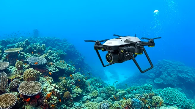
insights for enhanced decision-making across various sectors, including security, defense, offshore infrastructure, and nature-based operations. The solutions are platform-agnostic, allowing integration with autonomous underwater vehicles (AUVs), remotely operated vehicles (ROVs), uncrewed surface vessels (USVs), and diver-operated setups. The technology includes a UHI sensor, high-resolution RGB camera, environmental sensors, lights, computing unit, and motion and navigation units, offering flexibility for different use cases and operating conditions.
Why It's Important?
The introduction of PlanBlue's seafloor intelligence solutions is significant for several reasons. It enhances the ability to monitor and map extensive seafloor areas with high precision, which is crucial for defense and security operations. Additionally, the technology supports biodiversity and ecosystem monitoring, providing valuable data for environmental conservation efforts. By offering standardized, automated, and scalable solutions, PlanBlue's technology can improve efficiency and accuracy in underwater operations, benefiting industries that rely on detailed seafloor mapping, such as construction and marine research.
What's Next?
PlanBlue's technology is expected to be deployed in large-scale projects, enabling high-speed and precise monitoring of seafloor areas. The company plans to continue collaborating with trusted partners to provide deployment services, ensuring that users can benefit from their technology while utilizing existing equipment. As the demand for detailed seafloor mapping grows, PlanBlue's solutions may become integral to various sectors, including defense, environmental conservation, and offshore infrastructure development.
Beyond the Headlines
The development of high-resolution seafloor intelligence solutions by PlanBlue could have long-term implications for environmental monitoring and conservation. By providing detailed data on ecosystem stressors and biodiversity, the technology can aid in the assessment and management of marine environments, potentially influencing policy decisions related to marine conservation. Furthermore, the integration of AI and hyperspectral imaging in underwater operations represents a technological advancement that could drive innovation in marine research and exploration.