

What's Happening?
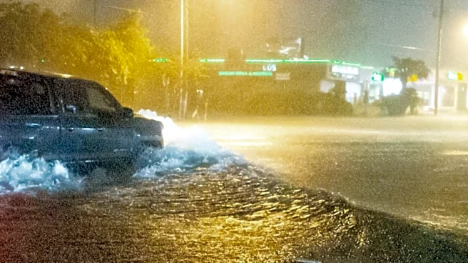
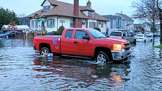
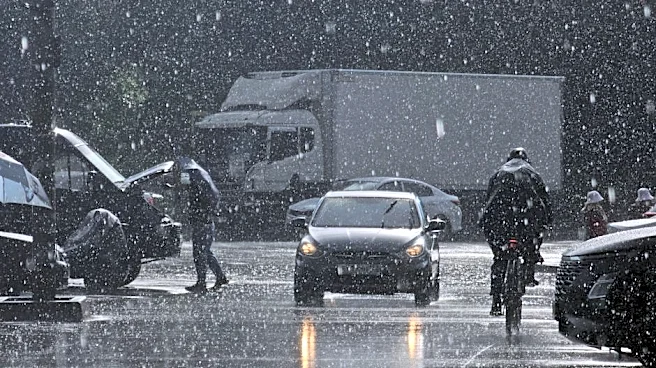
The Chicago area is bracing for clusters of thunderstorms expected to bring heavy rain and potential flooding on Wednesday. According to the NBC 5 Storm Team, waves of showers and thunderstorms are anticipated to move in during the afternoon and evening,
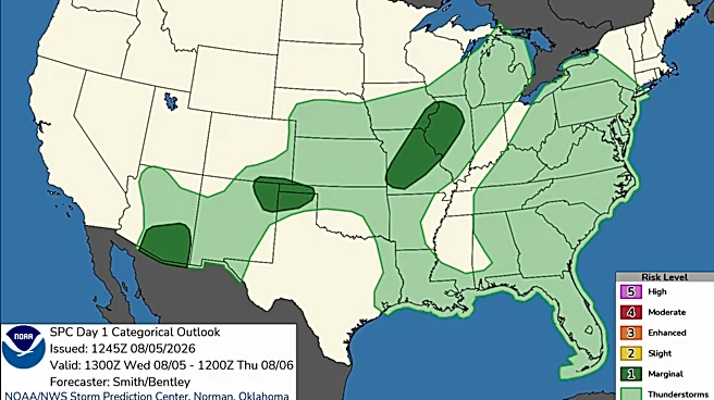
with the possibility of localized flooding and damaging wind gusts. Meteorologist Alicia Roman noted that a second wave of storms is expected to arrive around 4 p.m., coinciding with the rush hour commute. The Storm Prediction Center has placed parts of the region under a 'marginal' risk for severe weather, with wind gusts up to 60 miles per hour possible. The weather pattern is expected to continue with more showers and storms into the weekend.
Why It's Important?
The severe weather forecast poses significant risks to the Chicago area, including potential disruptions to transportation and daily activities. Heavy rainfall and localized flooding could impact road conditions, leading to hazardous driving situations and possible delays. The threat of damaging winds also raises concerns about property damage and power outages. Residents and businesses in the affected areas need to stay informed and prepared for possible emergency situations. The ongoing weather pattern highlights the importance of effective communication and preparedness in mitigating the impact of severe weather events on urban communities.
What's Next?
Residents in the Chicago area are advised to monitor weather updates and heed warnings from local authorities. The NBC 5 Storm Team will continue to provide real-time weather alerts and forecasts. As the weather system progresses, emergency services and local governments may need to respond to any incidents of flooding or damage. The community is encouraged to take precautionary measures, such as securing outdoor items and preparing for potential power outages. The weather pattern is expected to persist into next week, with a potential drying out by mid-week.