








What's Happening?
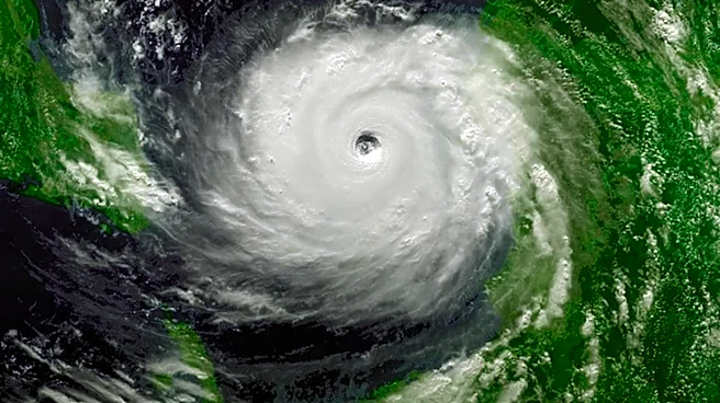
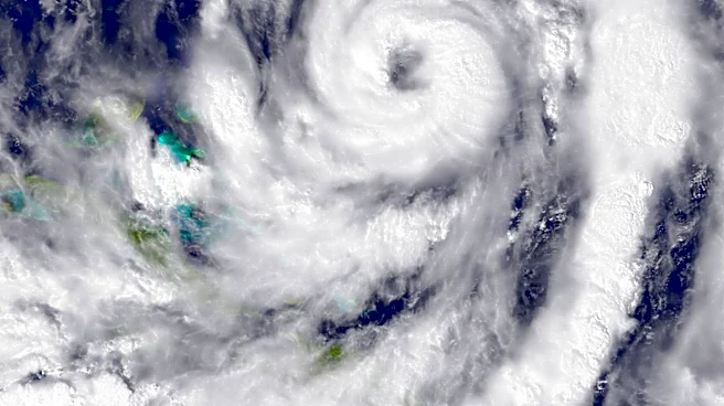
Tropical Depression Two has formed near Florida's Gulf coast and is expected to become Tropical Storm Bertha. A tropical storm watch is in effect for the Florida Panhandle, from the Ochlockonee River to the Alabama border. The depression is moving north-northwest
and could bring significant rainfall and storm surge to the region. Weather researchers have revised the 2026 Atlantic hurricane season forecast to include nine named storms, influenced by a strong El Niño. The height of the hurricane season is anticipated from mid-August to October, with the season ending on November 30.
Why It's Important?
The formation of Tropical Depression Two and the subsequent tropical storm watch highlight the ongoing challenges posed by the Atlantic hurricane season. The potential for heavy rainfall and storm surge poses risks to communities along the Gulf Coast, emphasizing the need for preparedness and timely response. The revised hurricane forecast underscores the impact of climate patterns like El Niño on storm activity, which can influence emergency planning and resource allocation. As the hurricane season progresses, monitoring and responding to these developments is crucial for minimizing damage and ensuring public safety.
What's Next?
As Tropical Depression Two progresses, it is expected to develop into Tropical Storm Bertha, prompting further monitoring and potential updates to weather advisories. Local authorities and residents in the affected areas should prepare for possible impacts, including heavy rainfall and storm surge. The Air Force Reserve reconnaissance crew is set to investigate the depression, providing valuable data for forecasting. Continued vigilance and adherence to safety protocols will be essential as the hurricane season advances, with the potential for additional storms to form in the coming months.