

What's Happening?
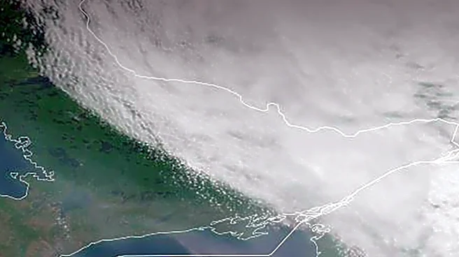
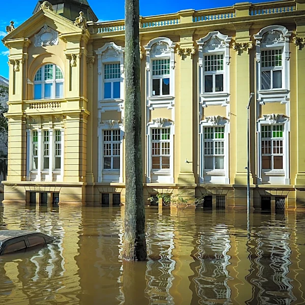
The Midwest region of the United States is anticipated to experience a milder and drier winter due to the ongoing El Niño phenomenon. This weather pattern is expected to result in less flooding compared to other U.S. regions, such as the Southwest, which
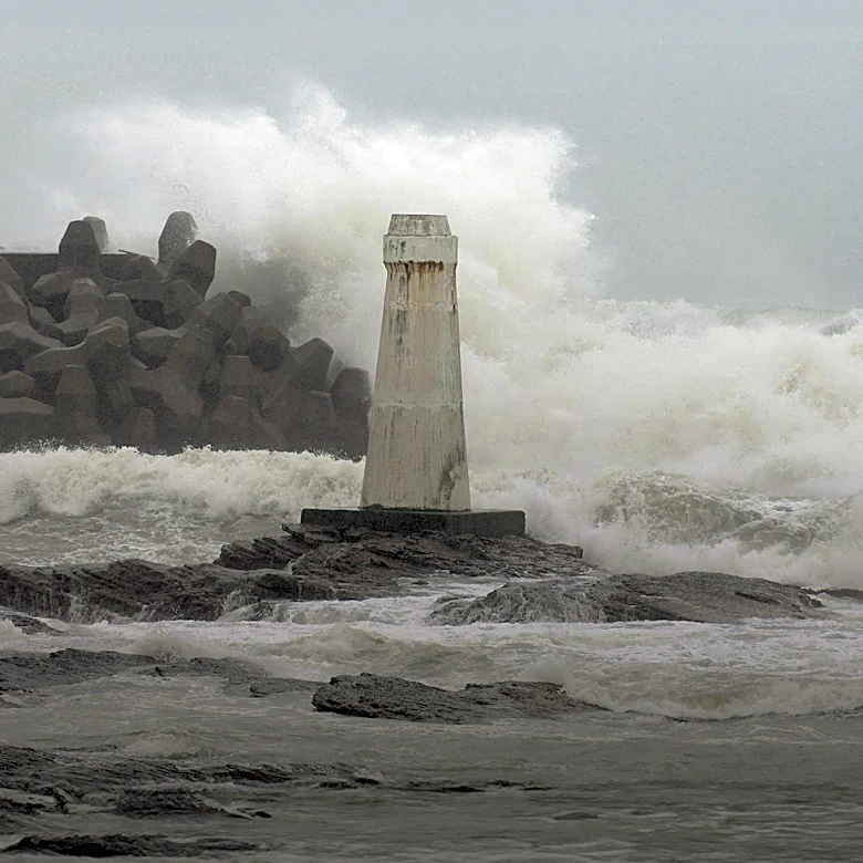
is already facing extreme flooding. El Niño, characterized by a band of warm water forming off the coast of South America, injects significant energy into the atmosphere, leading to varied impacts across different parts of the country. While California typically sees increased rainfall and flooding during El Niño events, the Midwest is projected to have more favorable conditions. However, there remains some uncertainty in localized forecasts, as models can predict general regional changes but not precise weather for specific locations months in advance. The current El Niño is noted as the strongest on record, with its peak potentially still a couple of months away.
Why It's Important?
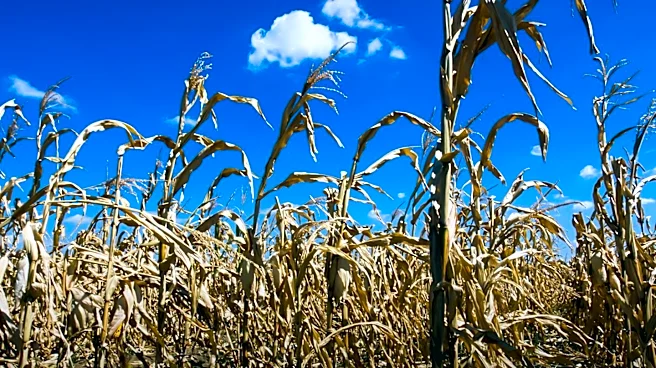
A milder and drier winter in the Midwest could have significant implications for agriculture, infrastructure, and public safety in the region. Reduced flooding risk would alleviate concerns for farmers regarding crop damage and soil erosion, potentially leading to more stable agricultural yields. For communities, a drier winter could mean fewer disruptions from flood-related road closures, property damage, and public health hazards associated with contaminated floodwaters. This forecast contrasts sharply with the challenges faced by the Southwest, where extreme flooding has already caused damage to homes and infrastructure. The differing regional impacts highlight the complex and varied nature of El Niño's influence across the U.S., requiring localized preparedness and response strategies. While beneficial for the Midwest, the overall national picture remains one of diverse and sometimes extreme weather conditions.
What's Next?
As the El Niño event continues to develop and potentially peak in the coming months, residents and authorities in the Midwest will monitor weather forecasts closely. While the general outlook suggests milder and drier conditions, localized heavy rainfall events cannot be entirely ruled out. Water resource managers will continue to assess the long-term implications of this winter's precipitation patterns on water levels and drought conditions in the region, especially considering the potential for rapid shifts between wet and dry extremes. The ongoing monitoring of El Niño's strength and its atmospheric impacts will be crucial for refining seasonal predictions and preparing for any unexpected weather anomalies that may arise as the winter progresses.
Beyond the Headlines
The varied regional impacts of El Niño underscore the broader challenges posed by climate variability and change. While the Midwest may benefit from reduced flood risk this winter, the overall trend of more extreme weather events, including severe droughts and intense precipitation, continues to pose long-term risks across the nation. The 'whiplash' effect of shifting from extreme wet to extreme dry conditions, as observed in other regions, highlights the need for robust and adaptable water resource management strategies. This situation also brings into focus the scientific community's ongoing efforts to better understand the interplay between natural climate phenomena like El Niño and anthropogenic climate change, aiming to improve the accuracy of long-range forecasts and enhance societal resilience to future weather extremes.