




What's Happening?
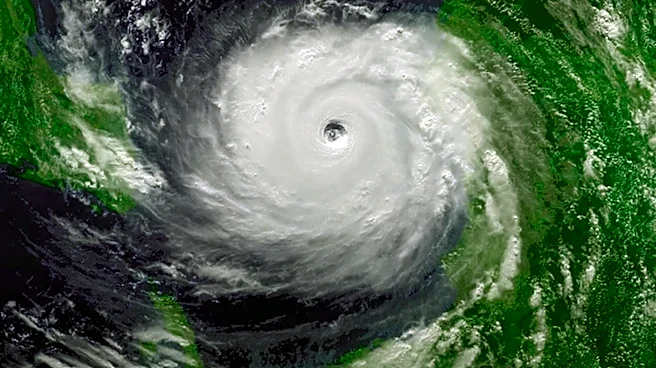
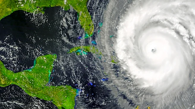
The National Hurricane Center (NHC) has reported an 80 percent chance of a tropical cyclone forming in the northeastern Gulf of Mexico. This development is part of the Atlantic hurricane season, with the system currently producing concentrated showers
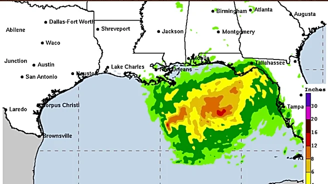
and thunderstorms. Meteorologists expect a tropical depression to form soon as the system moves slowly northward or northwestward over warm waters. An Air Force Reserve Hurricane Hunter aircraft is scheduled to investigate the disturbance to gather data on its organization and intensity. The potential impact area includes four states, with tropical storm watches or warnings possibly being issued for parts of the northern Gulf Coast. The main concerns are heavy rainfall and flooding, as the system could bring prolonged periods of torrential rain, especially in Florida and neighboring states.
Why It's Important?
The potential formation of a tropical cyclone in the Gulf of Mexico is significant due to the risk of heavy rainfall and flooding in the affected areas. The system's slow movement could lead to localized flash flooding, posing a threat to communities along the coast and parts of the Southeast. This development marks a shift in the Atlantic hurricane season, which had been relatively quiet due to unfavorable conditions like dry air and Saharan dust. The current disturbance indicates a renewed period of tropical activity as the season enters its peak months. Residents in the potential impact areas are advised to prepare by reviewing hurricane plans and assembling emergency supplies.
What's Next?
Residents from Louisiana to the Florida Peninsula are urged to monitor updates from the National Hurricane Center and local weather services. They should prepare for potential tropical storm conditions by assembling emergency supplies and reviewing flood plans, especially in low-lying or flood-prone areas. The NHC may issue tropical storm watches or warnings if the system continues to develop as expected. The situation requires close monitoring as the system's exact track remains uncertain, and the potential for heavy rainfall and flooding is high.