



What's Happening?
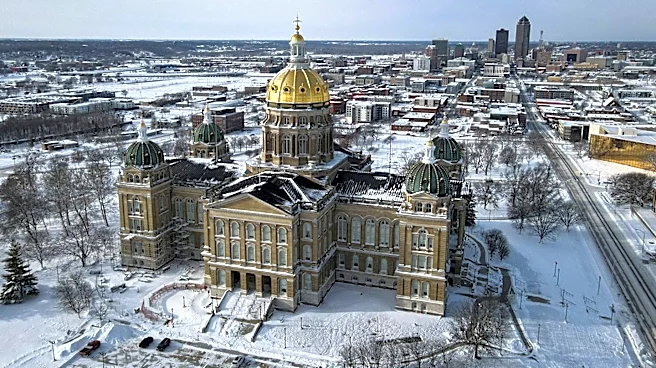
Iowa is expected to experience a cool and sunny Saturday before a warming trend begins. According to meteorologist Sloane Dulany, sunshine returned yesterday and will continue through the weekend. An area of high pressure to the south will maintain cool and dry
air, resulting in a rain-free but chilly Saturday. Temperatures in central Iowa are starting in the low 30s this morning and are expected to reach the mid-50s this afternoon. Overnight lows will be more moderate, in the low 40s. A gradual warming trend will commence on Sunday, with afternoon highs reaching the low 60s. An area of low pressure near the Great Lakes will move in Sunday evening, bringing stronger winds and pushing temperatures into the upper 60s by Monday, which is well above the average high for this time of year. There is a low chance of quick-moving showers between Wednesday and Thursday, with temperatures cooling back down to the 50s and eventually 40s by the end of the next work week.
Why It's Important?
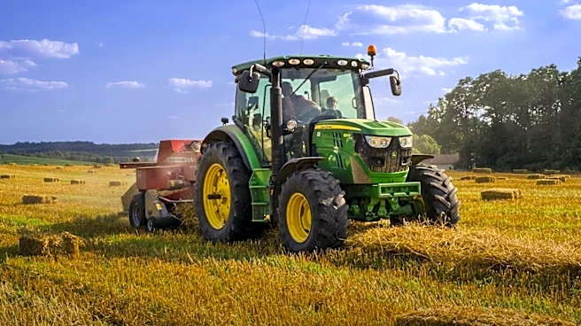
The fluctuating weather patterns in Iowa have significant implications for residents and various sectors. The cool and dry conditions on Saturday are favorable for outdoor activities but may require residents to dress warmly. The subsequent warming trend to the upper 60s by Monday could impact energy consumption, potentially reducing heating needs temporarily. For agriculture, the dry conditions are generally beneficial, but the eventual return to cooler temperatures and potential showers later in the week will be closely monitored. Businesses reliant on outdoor activities, such as construction or tourism, will need to adapt to these changes. The forecast provides crucial information for daily planning, resource management, and ensuring public safety, particularly concerning temperature-sensitive populations and infrastructure.
What's Next?
Residents of Iowa should prepare for a cool Saturday, followed by a noticeable warming trend early next week. Those with outdoor plans should monitor the forecast for updates on wind conditions, especially as the low-pressure system approaches on Sunday evening. Farmers and agricultural businesses will continue to track the weather for any impact on crops or fieldwork. Energy providers will adjust their operations based on the expected temperature fluctuations. The forecast for potential showers mid-week will also be important for water management and outdoor event planning. KCCI's skycams and weather alerts will remain available for real-time updates across the state.
Beyond the Headlines
The dynamic weather patterns in Iowa, transitioning from cool and dry to significantly warmer and then back to cooler, highlight the broader challenges of climate variability. Such shifts can impact long-term agricultural planning, water resource management, and infrastructure resilience. The ability of local meteorologists to provide detailed, short-term forecasts is crucial for public safety and economic stability. These weather events also subtly influence daily life, from clothing choices and travel plans to energy consumption and outdoor recreation, underscoring the pervasive impact of atmospheric conditions on human activity and the environment in the U.S. Midwest.