


What's Happening?
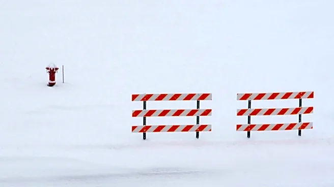
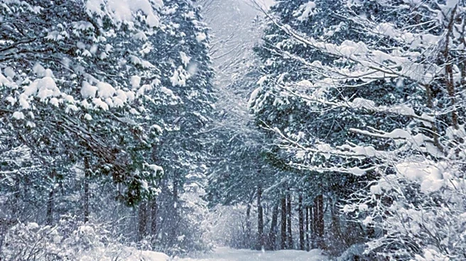
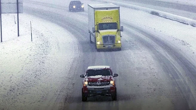
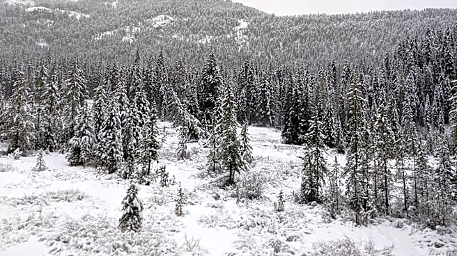
The National Weather Service (NWS) has issued winter storm warnings for southwest Montana and parts of central Idaho, particularly affecting high-elevation and backcountry areas. In northwest Beaverhead County, Montana, areas such as Wisdom and Big Hole
Pass are expected to receive heavy, wet snow through Monday, with up to 3 inches near mountain passes and more than 6 inches at higher elevations. These conditions pose elevated hypothermia risks, especially for those outdoors without proper gear. Similar conditions are expected in Lemhi County, Idaho, and surrounding mountain ranges, with snow forecasts of 4 to 8 inches above 6,500 feet and up to 12 inches on the highest peaks. The Anaconda Pintler range could see up to 16 inches of snow in the most elevated areas. These unseasonable winter-like hazards are expected to bring snow-covered trails, gusty winds, and potential for fallen trees blocking roads and access routes. Travel in the backcountry is strongly discouraged, and campers are warned that even a few inches of heavy snow could damage tents and equipment.
Why It's Important?
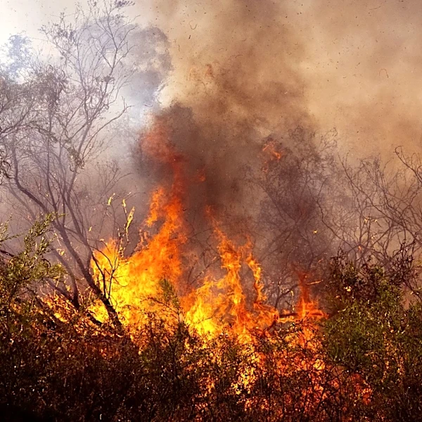
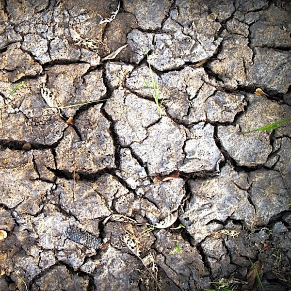
This weather event is significant as it highlights the extreme and contrasting weather patterns affecting the United States. While parts of the western U.S. are experiencing winter-like conditions, a heat dome is gripping much of the central and eastern states. This heat dome is expected to expand across 30 states, pushing temperatures into the 90s and low 100s, affecting millions of Americans. The simultaneous occurrence of these weather extremes, sometimes referred to as 'weather whiplash,' is part of a large-scale atmospheric pattern driven by the jet stream. The contrasting conditions are not separate events but are linked by the same atmospheric dynamics. The winter weather poses risks such as difficult travel, hypothermia, and blocked access routes, while the heat dome increases the risk of heat-related illnesses and strains infrastructure due to high power demand for cooling.
What's Next?
The winter weather warnings in Montana and Idaho are expected to persist through Monday, with continued advisories for those in high-elevation and backcountry areas. Meanwhile, the heat dome affecting central and eastern states is expected to last through the July 4 weekend, raising concerns about heat exhaustion and dehydration during one of the busiest periods for outdoor gatherings. The NWS has warned of especially dangerous conditions in parts of Ohio, North Carolina, and Washington, D.C., where 'feels like' temperatures could exceed 100 degrees Fahrenheit. Both weather extremes are expected to continue impacting travel and outdoor activities, with authorities advising caution and preparedness for the respective conditions.